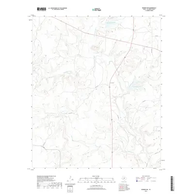
2019 Map of Rowden NW
USGS Topo · Published 2019About this map
Pecan Bayou and its diverging branches form the primary drainage system in this portion of Callahan County. The map details a landscape defined by significant water management infrastructure, most notably the Soil Conservation Service Site 10 Reservoir and the Soil Conservation Service Site 12 Reservoir. These sites illustrate mid-to-late 20th-century efforts to control runoff and prevent erosion in the Texas ranchlands. The terrain is marked by the winding courses of N Prong Pecan Bayou, S Prong Pecan Bayou, and Clear Cr. Human activity is represented by a network of ranch roads and thoroughfares like FM 2926, connecting dispersed properties and land parcels across the undulating topography of the region.
Find a feature on this map
18 named features on this map. Tap any name to fly to it.
Don’t see what you’re looking for? This feature index may not catch every label — zoom into the map to look around manually.
Map Details
Editions of this 2019 Rowden NW Map
This is the sole edition of this map. No revisions or reprints were ever made.
Other maps of this area

1890 · Abilene
USGS Topo · 1:125,000

1892 · Abilene
USGS Topo · 1:125,000

1931 · Baird
USGS Topo · 1:125,000

1932 · Baird
USGS Topo · 1:125,000

1954 · Abilene
USGS Topo · 1:250,000

1957 · Kirby Lake
USGS Topo · 1:62,500

1958 · Abilene
USGS Topo · 1:250,000
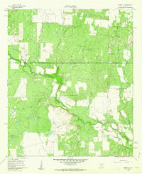
1960 · Webbville
USGS Topo · 1:24,000
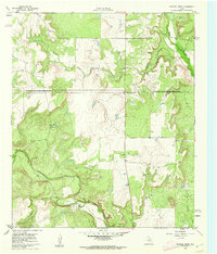
1960 · Crooked Creek
USGS Topo · 1:24,000

1966 · Admiral
USGS Topo · 1:24,000