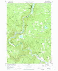
1973 Map of Rowe
USGS Topo · Published 1975About this map
The Deerfield River carves a deep valley through the northern Berkshire hills, defining a landscape dominated by timberlands and hydroelectric infrastructure. By the early 1970s, the river’s industrial utility is evident in the Sherman Reservoir, Lower Reservoir, and the Upper Reservoir Bear Swamp, which support a local Powerplant. In the western portion of the map, the Boston and Maine Railroad follows the river's bend before disappearing into the historic Hoosac Tunnel, a feat of nineteenth-century engineering that remains a focal point for the small community at Hoosac Tunnel Sta.
Find a feature on this map
79 named features on this map. Tap any name to fly to it.
Don’t see what you’re looking for? This feature index may not catch every label — zoom into the map to look around manually.
Map Details
Editions of this 1973 Rowe Map
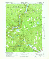
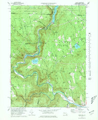
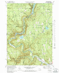
4 editions found
Other maps of this area

1886 · Greylock
USGS Topo · 1:62,500

1886 · Hawley
USGS Topo · 1:62,500

1889 · Wilmington
USGS Topo · 1:62,500

1890 · Hawley
USGS Topo · 1:62,500

1891 · Wilmington
USGS Topo · 1:62,500

1891 · Greylock
USGS Topo · 1:62,500

1893 · Greylock
USGS Topo · 1:62,500

1894 · Hawley
USGS Topo · 1:62,500

1898 · Bennington
USGS Topo · 1:62,500

1898 · Greylock
USGS Topo · 1:62,500