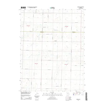
2014 Map of Rowena
USGS Topo · Published 2014About this map
Rowena occupies the center of this rural landscape, situated directly on the county line dividing Monroe Co and Audrain Co. The terrain is defined by a dense network of meandering waterways that cut through the agricultural land, including Youngs Cr, Goodwater Cr, and Long Br. These creeks create a complex drainage pattern across the central Missouri plains, often flanked by the township boundaries of t53n r11w and t52n r11w.
Find a feature on this map
42 named features on this map. Tap any name to fly to it.
Don’t see what you’re looking for? This feature index may not catch every label — zoom into the map to look around manually.
Map Details
Editions of this 2014 Rowena Map
This is the sole edition of this map. No revisions or reprints were ever made.
Other maps of this area

1890 · Mexico
USGS Topo · 1:125,000

1890 · Moberly
USGS Topo · 1:125,000

1932 · Mexico
USGS Topo · 1:62,500

1945 · Florida
USGS Topo · 1:62,500

1945 · Centralia
USGS Topo · 1:62,500

1948 · Quincy
USGS Topo · 1:250,000

1953 · Moberly
USGS Topo · 1:250,000

1954 · Moberly
USGS Topo · 1:250,000

1956 · Quincy
USGS Topo · 1:250,000

1957 · Moberly
USGS Topo · 1:250,000