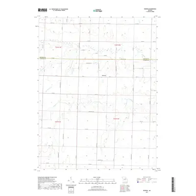
2017 Map of Rowena
USGS Topo · Published 2017About this map
Rowena sits at the intersection of Audrain and Monroe counties, serving as the central point for a landscape defined by its complex drainage network. The terrain is deeply incised by multiple branches and creeks, most notably Goodwater Cr and Youngs Cr, which wind through the southern and eastern sections. To the west, the descriptive naming conventions of the region are evident with Scattering Br and its tributary Short Scattering Cr. This 2017 survey reflects the persistent rural character of the Missouri heartland, where a dense grid of county and township roads, such as Audrain Road 280 and Hwy CC, follows the sectional lines established by the original public land survey system. The map provides a clear record of land divisions and the intersection of traditional agricultural routes with more modern thoroughfares like State Hwy M.
Find a feature on this map
46 named features on this map. Tap any name to fly to it.
Don’t see what you’re looking for? This feature index may not catch every label — zoom into the map to look around manually.
Map Details
Editions of this 2017 Rowena Map
This is the sole edition of this map. No revisions or reprints were ever made.
Other maps of this area

1890 · Mexico
USGS Topo · 1:125,000

1890 · Moberly
USGS Topo · 1:125,000

1932 · Mexico
USGS Topo · 1:62,500

1945 · Florida
USGS Topo · 1:62,500

1945 · Centralia
USGS Topo · 1:62,500

1948 · Quincy
USGS Topo · 1:250,000

1953 · Moberly
USGS Topo · 1:250,000

1954 · Moberly
USGS Topo · 1:250,000

1956 · Quincy
USGS Topo · 1:250,000

1957 · Moberly
USGS Topo · 1:250,000