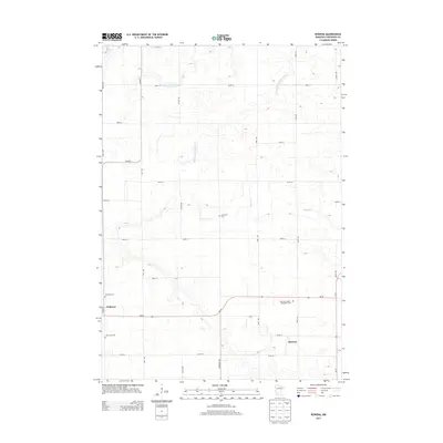
2013 Map of Rowena
USGS Topo · Published 2013About this map
The agricultural landscape of Redwood County centers on the community of Wabasso and the smaller settlement of Rowena to the southeast. This region is characterized by an extensive network of human-engineered waterways, such as Judicial Ditch Number Five and County Ditch Number Fiftytwo, which intersect the natural course of Wabasha Cr. These drainage systems reveal the area's deep history of land management for farming, turning the prairie into productive acreage.
Find a feature on this map
31 named features on this map. Tap any name to fly to it.
Don’t see what you’re looking for? This feature index may not catch every label — zoom into the map to look around manually.
Map Details
Editions of this 2013 Rowena Map
This is the sole edition of this map. No revisions or reprints were ever made.
Other maps of this area

1952 · Redwood Falls
USGS Topo · 1:62,500

1953 · New Ulm
USGS Topo · 1:250,000

1957 · New Ulm
USGS Topo · 1:250,000

1958 · New Ulm
USGS Topo · 1:250,000

1965 · Belview
USGS Topo · 1:24,000

1967 · New Ulm
USGS Topo · 1:250,000

1967 · Wanda
USGS Topo · 1:24,000

1967 · Clements
USGS Topo · 1:24,000

1967 · Wabasso SE
USGS Topo · 1:24,000

1967 · Wabasso
USGS Topo · 1:24,000