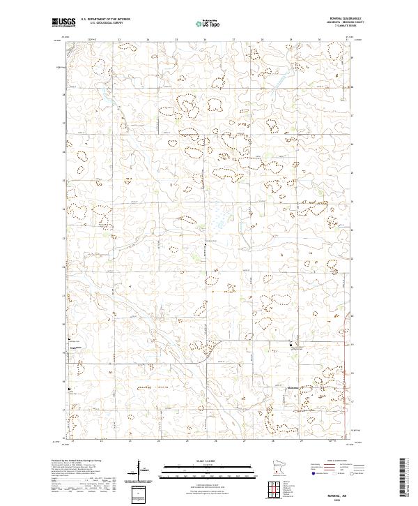
2022 Map of Rowena
USGS Topo · Published 2022About this map
Wabasso and Rowena anchor this agricultural landscape in Redwood County, defined by a highly organized grid of range roads and township lines. The terrain is characterized by a complex network of managed waterways, including Judicial Ditch Number Five and County Ditch Number Fiftytwo, which facilitate the drainage of the surrounding prairie. These artificial channels intersect with natural drainages like Wabasha Cr, illustrating the intensive engineering required for local cultivation.
Find a feature on this map
34 named features on this map. Tap any name to fly to it.
Don’t see what you’re looking for? This feature index may not catch every label — zoom into the map to look around manually.
Map Details
Editions of this 2022 Rowena Map
This is the sole edition of this map. No revisions or reprints were ever made.
Other maps of this area

1952 · Redwood Falls
USGS Topo · 1:62,500

1953 · New Ulm
USGS Topo · 1:250,000

1957 · New Ulm
USGS Topo · 1:250,000

1958 · New Ulm
USGS Topo · 1:250,000

1965 · Belview
USGS Topo · 1:24,000

1967 · New Ulm
USGS Topo · 1:250,000

1967 · Wanda
USGS Topo · 1:24,000

1967 · Clements
USGS Topo · 1:24,000

1967 · Wabasso SE
USGS Topo · 1:24,000

1967 · Wabasso
USGS Topo · 1:24,000