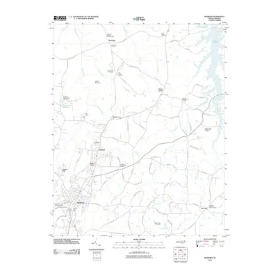
2010 Map of Roxboro
USGS Topo · Published 2010About this map
Roxboro serves as the central hub of this northern North Carolina landscape, where the town's expanding footprint meets a countryside defined by small communities and historical burial grounds. The northern reaches are characterized by the sprawling Mayo Reservoir and the prominent height of Hagers Mountain, while the surrounding terrain is dotted with long-standing settlements such as Woodsdale, Allensville, and Montwood.
Find a feature on this map
85 named features on this map. Tap any name to fly to it.
Don’t see what you’re looking for? This feature index may not catch every label — zoom into the map to look around manually.
Map Details
Editions of this 2010 Roxboro Map
This is the sole edition of this map. No revisions or reprints were ever made.
Other maps of this area

1943 · Roxboro
USGS Topo · 1:62,500

1952 · Milton
USGS Topo · 1:62,500

1953 · South Boston
USGS Topo · 1:62,500

1953 · Greensboro
USGS Topo · 1:250,000

1954 · Greensboro
USGS Topo · 1:250,000

1956 · Milton
USGS Topo · 1:62,500

1957 · South Boston
USGS Topo · 1:62,500

1962 · Greensboro
USGS Topo · 1:250,000

1966 · Greensboro
USGS Topo · 1:250,000

1968 · Hurdle Mills
USGS Topo · 1:24,000