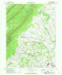
1966 Map of Roxbury
USGS Topo · Published 1968About this map
Letterkenny Army Depot dominates the southern landscape of this 1960s study, its expansive grounds served by the dedicated U S Government Railroad winding through the valley. This military installation occupies a significant portion of the territory south of Upper Strasburg, reflecting the mid-century intersection of federal infrastructure and rural Pennsylvania life. To the north, the steep ridges of Kittatinny Mountain and Blue Mountain define a sharp transition from the valley floor to the protected wilderness of Buchanan State Forest and State Game Lands No 76.
Find a feature on this map
44 named features on this map. Tap any name to fly to it.
Don’t see what you’re looking for? This feature index may not catch every label — zoom into the map to look around manually.
Map Details
Editions of this 1966 Roxbury Map
4 editions found
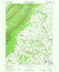
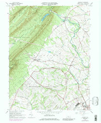
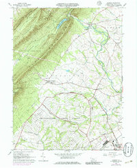
Other maps of this area

1900 · Mercersburg
USGS Topo · 1:62,500

1902 · Chambersburg
USGS Topo · 1:62,500

1902 · Mercersburg
USGS Topo · 1:62,500

1923 · Shippensburg
USGS Topo · 1:62,500

1939 · Orbisonia
USGS Topo · 1:62,500

1940 · Orbisonia
USGS Topo · 1:62,500

1942 · Hagerstown
USGS Topo · 1:125,000

1943 · Hagerstown
USGS Topo · 1:125,000

1943 · Chambersburg
USGS Topo · 1:62,500

1943 · Mercersburg
USGS Topo · 1:62,500
Featured Places
- Lurgan Township, PA
- Metal Township, PA
- Letterkenny Township, PA
- Greene Township, PA
- Southampton Township, PA