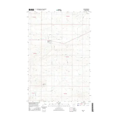
2017 Map of Roy
USGS Topo · Published 2017About this map
The town of Roy serves as the focal point for this section of Fergus County, where a grid of local streets like Main St and Railroad Ave meets the open Montana prairie. Situated at a junction of rural routes including Mabee Rd and Rindal Rd, the settlement is surrounded by a drainage network defined by Box Elder Cr to the north and Bear Cr to the south. The landscape is marked by prominent natural landmarks, most notably Rattlesnake Butte which rises to the southwest, while the Sacagawea River meanders across the northeastern corner of the quadrangle. Local heritage is grounded in sites like the Roy Cem and a series of long-standing section lines that have organized this ranching and farming territory for generations. The map provides a detailed view of the infrastructure supporting this community, from the local school and post office area to the named roads like Black Butte Rd that connect outlying properties.
Find a feature on this map
26 named features on this map. Tap any name to fly to it.
Don’t see what you’re looking for? This feature index may not catch every label — zoom into the map to look around manually.
Map Details
Editions of this 2017 Roy Map
This is the sole edition of this map. No revisions or reprints were ever made.
Other maps of this area
1941 · Judith Peak
USGS Topo · 1:62,500
1944 · Judith Peak
USGS Topo · 1:62,500

1954 · Lewistown
USGS Topo · 1:250,000

1959 · Lewistown
USGS Topo · 1:250,000
1978 · Lewistown
USGS Topo · 1:100,000
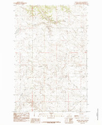
1985 · Griffee Coulee
USGS Topo · 1:24,000
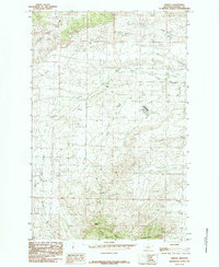
1985 · Fergus
USGS Topo · 1:24,000
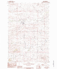
1985 · Roy
USGS Topo · 1:24,000
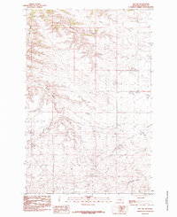
1985 · Roy NW
USGS Topo · 1:24,000
1985 · Bohemian Corners
USGS Topo · 1:24,000