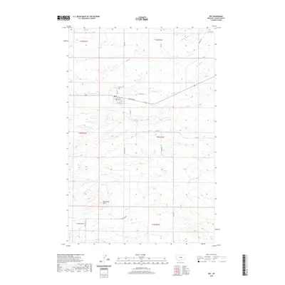
2020 Map of Roy
USGS Topo · Published 2020About this map
The town of Roy serves as the focal point for this section of Fergus County, organized around a grid of streets including Cowan St and Railroad Ave. Just north of the settlement, the Roy Cem provides a genealogical touchpoint for the local community. The landscape is defined by the winding course of the Sacagawea River in the northeast and the drainage basins of Box Elder Creek, Bear Creek, and Crist Creek. Significant relief is provided by Rattlesnake Butte in the southwest, while the township and range lines of the Public Land Survey System underscore the orderly division of this Montana ranching and agricultural country. Local transport is represented by a network of rural routes such as Rindal Rd, Mabee Rd, and Black Butte Rd, which connect isolated homesteads and pastures across the central Montana plains.
Find a feature on this map
21 named features on this map. Tap any name to fly to it.
Don’t see what you’re looking for? This feature index may not catch every label — zoom into the map to look around manually.
Map Details
Editions of this 2020 Roy Map
This is the sole edition of this map. No revisions or reprints were ever made.
Other maps of this area
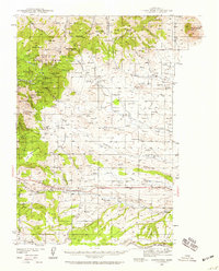
1941 · Judith Peak
USGS Topo · 1:62,500
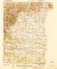
1944 · Judith Peak
USGS Topo · 1:62,500
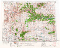
1954 · Lewistown
USGS Topo · 1:250,000
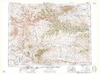
1959 · Lewistown
USGS Topo · 1:250,000
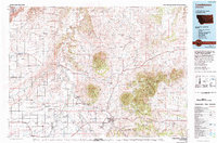
1978 · Lewistown
USGS Topo · 1:100,000
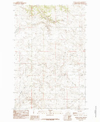
1985 · Griffee Coulee
USGS Topo · 1:24,000
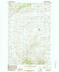
1985 · Fergus
USGS Topo · 1:24,000
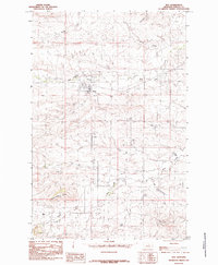
1985 · Roy
USGS Topo · 1:24,000
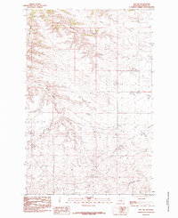
1985 · Roy NW
USGS Topo · 1:24,000
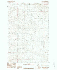
1985 · Bohemian Corners
USGS Topo · 1:24,000