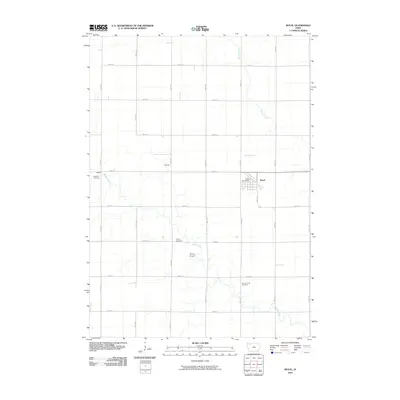
2010 Map of Royal
USGS Topo · Published 2010About this map
Royal serves as the primary hub of this agricultural landscape in Clay County, centered at the intersection of 400th St and 150th Ave. The town is well-defined by its grid, featuring the Royal Post Office and the nearby Royal Airport to the southwest. The surrounding countryside is structured by a precise mile-square road network, including notable historical markers such as TriMello Cemetery in the northwest and Center Cemetery located near the center of the sheet. Drainage for these expansive farmlands is provided by the winding paths of Spring Creek and Willow Creek, the latter of which meanders past Willow Creek Cemetery in the southeast. Minor settlement points like TriMello and Ingleville appear as distinct locations along the established county roads, reflecting the distribution of rural life and small-scale community centers in the early 21st century.
Find a feature on this map
26 named features on this map. Tap any name to fly to it.
Don’t see what you’re looking for? This feature index may not catch every label — zoom into the map to look around manually.
Map Details
Editions of this 2010 Royal Map
This is the sole edition of this map. No revisions or reprints were ever made.
Other maps of this area

1954 · Fairmont
USGS Topo · 1:250,000

1954 · Fort Dodge
USGS Topo · 1:250,000

1957 · Fort Dodge
USGS Topo · 1:250,000

1958 · Fort Dodge
USGS Topo · 1:250,000

1958 · Fairmont
USGS Topo · 1:250,000

1966 · Spencer
USGS Topo · 1:24,000

1966 · Greenville
USGS Topo · 1:24,000

1970 · Hartley SW
USGS Topo · 1:24,000

1970 · Everly
USGS Topo · 1:24,000

1970 · Hartley
USGS Topo · 1:24,000