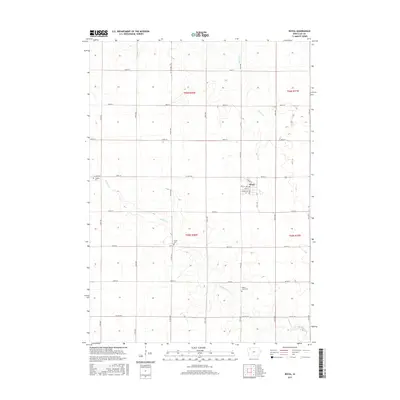
2015 Map of Royal
USGS Topo · Published 2015About this map
Royal serves as the primary hub of this Clay County landscape, defined by a grid of agricultural section lines and township boundaries including t95n r38w and t96n r37w. The settlement is compact, centered on Main St and Market St, while the surrounding countryside is marked by several long-established burial sites. Genealogists will find TriMello Cem in the northwest, Center Cem in the heart of the township, and Willow Creek Cem situated near the southern meanders of Willow Cr. The drainage patterns of Spring Cr and Willow Creek cut diagonally across the survey, creating subtle variations in the otherwise orderly Iowa plains, as seen in this 2015 update to the local topography.
Find a feature on this map
31 named features on this map. Tap any name to fly to it.
Don’t see what you’re looking for? This feature index may not catch every label — zoom into the map to look around manually.
Map Details
Editions of this 2015 Royal Map
This is the sole edition of this map. No revisions or reprints were ever made.
Other maps of this area

1954 · Fairmont
USGS Topo · 1:250,000

1954 · Fort Dodge
USGS Topo · 1:250,000

1957 · Fort Dodge
USGS Topo · 1:250,000

1958 · Fort Dodge
USGS Topo · 1:250,000

1958 · Fairmont
USGS Topo · 1:250,000

1966 · Spencer
USGS Topo · 1:24,000

1966 · Greenville
USGS Topo · 1:24,000

1970 · Hartley SW
USGS Topo · 1:24,000

1970 · Everly
USGS Topo · 1:24,000

1970 · Hartley
USGS Topo · 1:24,000