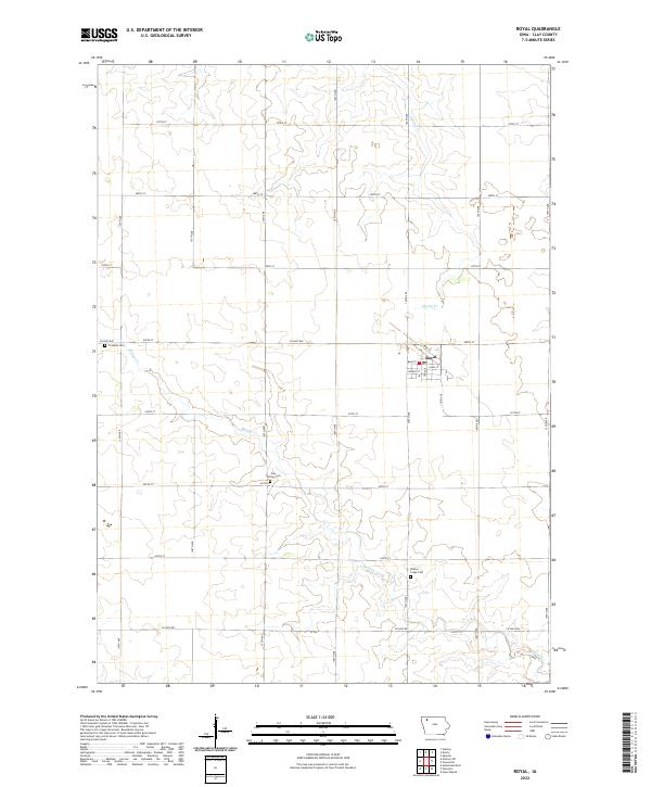
2022 Map of Royal
USGS Topo · Published 2022About this map
Royal serves as the primary hub of this Clay County landscape, defined by a strictly organized grid of agricultural roads and section lines. The settlement is compact, with its streets—including Main St, Long St, and Church St—concentrated around a central core. The surrounding countryside is drained by the meandering paths of Willow Cr and Spring Cr, which cut through the rectilinear farm plots. Local history and genealogy are preserved in several distinct locations, such as the Clay Center Cem in the township's interior and Willow Creek Cem to the southeast. The map reflects a modern rural Iowa environment where long-standing community landmarks like the Tri Mello Cem persist alongside the enduring infrastructure of county highways and gravel roads like Co Hwy B40 and Co Hwy B53.
Find a feature on this map
31 named features on this map. Tap any name to fly to it.
Don’t see what you’re looking for? This feature index may not catch every label — zoom into the map to look around manually.
Map Details
Editions of this 2022 Royal Map
This is the sole edition of this map. No revisions or reprints were ever made.
Other maps of this area

1954 · Fairmont
USGS Topo · 1:250,000

1954 · Fort Dodge
USGS Topo · 1:250,000

1957 · Fort Dodge
USGS Topo · 1:250,000

1958 · Fort Dodge
USGS Topo · 1:250,000

1958 · Fairmont
USGS Topo · 1:250,000

1966 · Spencer
USGS Topo · 1:24,000

1966 · Greenville
USGS Topo · 1:24,000

1970 · Hartley SW
USGS Topo · 1:24,000

1970 · Everly
USGS Topo · 1:24,000

1970 · Hartley
USGS Topo · 1:24,000