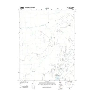
2012 Map of Royal Gorge
USGS Topo · Published 2012About this map
The N Fork American River carves through the dramatic landscape of Placer County, defining the northern geography of this high-elevation region. Near the turn of the 21st century, the area remains a hub for backcountry recreation and forestry, anchored in the south by the French Meadows Reservoir. The mapping shows a network of remote outposts and seasonal destinations, including Gates Cabin and Handy Camp, alongside several forest service campgrounds like Ahart Campground and Lewis Campground.
Find a feature on this map
30 named features on this map. Tap any name to fly to it.
Don’t see what you’re looking for? This feature index may not catch every label — zoom into the map to look around manually.
Map Details
Editions of this 2012 Royal Gorge Map
This is the sole edition of this map. No revisions or reprints were ever made.
Other maps of this area

1891 · Colfax
USGS Topo · 1:125,000

1891 · Truckee
USGS Topo · 1:125,000

1892 · Colfax
USGS Topo · 1:125,000

1893 · Truckee
USGS Topo · 1:125,000

1894 · Colfax
USGS Topo · 1:125,000

1895 · Truckee
USGS Topo · 1:125,000

1898 · Colfax
USGS Topo · 1:125,000

1900 · Colfax
USGS Topo · 1:125,000

1902 · Colfax
USGS Topo · 1:125,000

1932 · Truckee
USGS Topo · 1:96,000