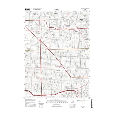
2014 Map of Royal Oak
USGS Topo · Published 2014About this map
Detroit and its northern suburbs are defined by a dense grid of residential streets and heavy transportation corridors in this mid-2010s survey. The landscape is marked by the historical boundary between Oakland Co and Wayne Co along 8 Mile Rd W, a line that separates the city from communities like Oak Park, Ferndale, and Southfield. Educational institutions serve as major local anchors, including the Marygrove Coll and Univ of Detroit Mercy campuses in the south, and the Yeshiva Gedolah of Greater Detroit further north.
Find a feature on this map
45 named features on this map. Tap any name to fly to it.
Don’t see what you’re looking for? This feature index may not catch every label — zoom into the map to look around manually.
Map Details
Editions of this 2014 Royal Oak Map
This is the sole edition of this map. No revisions or reprints were ever made.
Other maps of this area

1905 · Wayne
USGS Topo · 1:62,500

1905 · Detroit
USGS Topo · 1:62,500

1907 · Pontiac
USGS Topo · 1:62,500

1908 · Rochester
USGS Topo · 1:62,500

1912 · Wayne
USGS Topo · 1:62,500

1918 · Detroit
USGS Topo · 1:62,500

1924 · Detroit
USGS Topo · 1:62,500

1934 · Detroit
USGS Topo · 1:62,500

1936 · Warren
USGS Topo · 1:31,680

1936 · Inkster
USGS Topo · 1:31,680