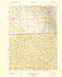
1941 Map of Royal Oak
USGS Topo · Published 1941About this map
Royal Oak and the surrounding northern Detroit suburbs appear during a period of significant residential expansion, as captured in this 1939 survey. The landscape is defined by a dense grid of residential streets and educational institutions, most notably the University of Detroit and Mary Grove College. The Michigan Base Line Road serves as a critical divider between Oakland Co and Wayne Co, separating the established neighborhoods of Ferndale and Berkley from the northern reaches of the City of Detroit.
Find a feature on this map
102 named features on this map. Tap any name to fly to it.
Don’t see what you’re looking for? This feature index may not catch every label — zoom into the map to look around manually.
Map Details
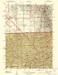
Editions of this 1941 Royal Oak Map
2 editions found
Other maps of this area

1905 · Wayne
USGS Topo · 1:62,500

1905 · Detroit
USGS Topo · 1:62,500

1907 · Pontiac
USGS Topo · 1:62,500

1908 · Rochester
USGS Topo · 1:62,500

1912 · Wayne
USGS Topo · 1:62,500

1918 · Detroit
USGS Topo · 1:62,500

1924 · Detroit
USGS Topo · 1:62,500

1934 · Detroit
USGS Topo · 1:62,500

1936 · Warren
USGS Topo · 1:31,680

1936 · Inkster
USGS Topo · 1:31,680