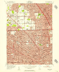
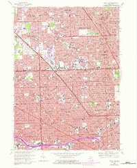
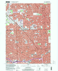
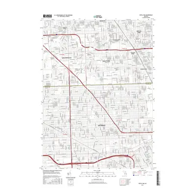
1952 Map of Royal Oak
USGS Topo · Published 1954About this map
Detroit and its northern suburbs are shown here in the early 1950s, a period of massive residential growth defined by a dense grid of residential streets and expanding school systems. The Oakland Co and Wayne Co boundary line bisects the sheet, separating the established neighborhoods of northern Detroit from burgeoning communities like Royal Oak, Berkley, and Ferndale. The landscape is dominated by social and civic infrastructure, with dozens of schools such as Berkley High Sch and University of Detroit High Sch serving the post-war population boom.
Find a feature on this map
114 named features on this map. Tap any name to fly to it.
Don’t see what you’re looking for? This feature index may not catch every label — zoom into the map to look around manually.
Map Details
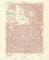
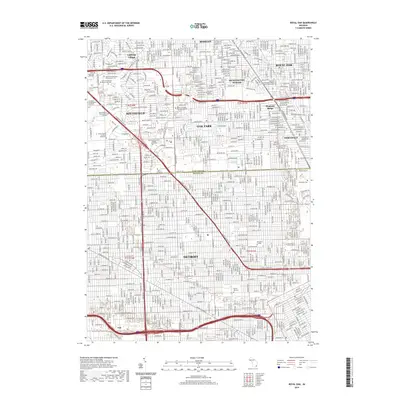
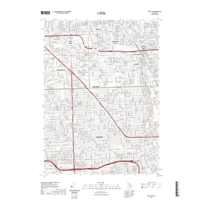
Editions of this 1952 Royal Oak Map
2 editions found
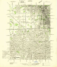
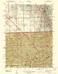
Historical Maps of Detroit Through Time
10 maps found
1936 Royal Oak
Oakland County, MI
1941 Royal Oak
Oakland County, MI
1952 Royal Oak
Oakland County, MI
1968 Royal Oak
Oakland County, MI
1996 Royal Oak
Oakland County, MI
2011 Royal Oak
Oakland County, MI
2014 Royal Oak
Oakland County, MI
2017 Royal Oak
Oakland County, MI
2019 Royal Oak
Oakland County, MI
2023 Royal Oak
Oakland County, MI