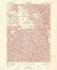
1952 Map of Royal Oak
USGS Topo · Published 1954About this map
Detroit Zoological Park sits at the heart of this post-war landscape, marking the transition from the dense urban grid of Detroit and Ferndale into the expanding suburban communities of Royal Oak and Berkley. The map documents a significant era of transit and development, defined by the major arteries of Northwestern Highway and Eight Mile Road. The southern portion is heavily industrial and residential, featuring the Grand Trunk Western RR corridor and institutional landmarks like Duns Scotus College and Sinai Hospital.
Find a feature on this map
103 named features on this map. Tap any name to fly to it.
Don’t see what you’re looking for? This feature index may not catch every label — zoom into the map to look around manually.
Map Details
Editions of this 1952 Royal Oak Map
2 editions found
Other maps of this area

1905 · Wayne
USGS Topo · 1:62,500

1905 · Detroit
USGS Topo · 1:62,500

1907 · Pontiac
USGS Topo · 1:62,500

1908 · Rochester
USGS Topo · 1:62,500

1912 · Wayne
USGS Topo · 1:62,500

1918 · Detroit
USGS Topo · 1:62,500

1924 · Detroit
USGS Topo · 1:62,500

1934 · Detroit
USGS Topo · 1:62,500

1936 · Warren
USGS Topo · 1:31,680

1936 · Inkster
USGS Topo · 1:31,680