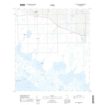
2018 Map of Royal Palm Hammock
USGS Topo · Published 2018About this map
Royal Palm Hammock sits at the edge of the Everglades, where the Florida mainland transitions into the complex labyrinth of the Ten Thousand Islands. This 2018 survey shows a landscape dominated by tidal hydrology and mangrove estuaries, including large basins like Pumpkin Bay and Blackwater Bay. The human presence is concentrated primarily along the Tamiami Trl E corridor, where the historic cross-state highway meets the dredging of the Faka Union Canal. South of the Old Grove settlement, the land dissolves into a network of keys and tidal passes, such as Shell Key and Foster Key, separated by winding waterways like the Whitney River and Gill Rattle Creek. Inland, the Marsh Trail offers a path through the wetlands, while landmarks such as Coon Gravy Gate and Ghost Cove reflect the local nomenclature of this remote coastal wilderness before it meets the open waters of Gullivan Bay.
Find a feature on this map
90 named features on this map. Tap any name to fly to it.
Don’t see what you’re looking for? This feature index may not catch every label — zoom into the map to look around manually.
Map Details
Editions of this 2018 Royal Palm Hammock Map
This is the sole edition of this map. No revisions or reprints were ever made.
Other maps of this area

1956 · Miami
USGS Topo · 1:250,000

1956 · West Palm Beach
USGS Topo · 1:250,000

1957 · West Palm Beach
USGS Topo · 1:250,000

1958 · West Palm Beach
USGS Topo · 1:250,000

1958 · Miami
USGS Topo · 1:250,000

1958 · Belle Meade
USGS Topo · 1:24,000

1958 · Belle Meade SE
USGS Topo · 1:24,000

1959 · Deep Lake SW
USGS Topo · 1:24,000

1972 · Weavers Station
USGS Topo · 1:24,000

1973 · Cape Romano
USGS Topo · 1:24,000