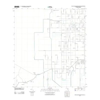
2012 Map of Royal Palm Ranger Station
USGS Topo · Published 2012About this map
Paradise Key and Pine Island anchor this transition between the agricultural outskirts of Homestead and the protected wetlands of the Everglades. The map captures a rigid grid of rural roads, including SW 288th St and SW 360th St, that terminates abruptly as the landscape shifts toward the natural hammocks and keys. The presence of the Royal Palm Ranger Station marks the boundary of human infrastructure, while to the north, the Homestead General Aviation Airport serves as a modern landmark at the edge of the developed corridor. This period shows the southern Florida landscape as a meticulously surveyed intersection of industrial aviation, local thoroughfares, and ecologically distinct features like Parachute Key.
Find a feature on this map
45 named features on this map. Tap any name to fly to it.
Don’t see what you’re looking for? This feature index may not catch every label — zoom into the map to look around manually.
Map Details
Editions of this 2012 Royal Palm Ranger Station Map
This is the sole edition of this map. No revisions or reprints were ever made.
Other maps of this area

1949 · Goulds
USGS Topo · 1:24,000

1950 · Homestead
USGS Topo · 1:24,000

1950 · Glades
USGS Topo · 1:24,000

1956 · Goulds
USGS Topo · 1:24,000

1956 · Grossman Hammock
USGS Topo · 1:24,000

1956 · Homestead
USGS Topo · 1:24,000

1956 · Royal Palm Ranger Station
USGS Topo · 1:24,000

1956 · Glades
USGS Topo · 1:24,000

1956 · Royal Palm Ranger Station SE
USGS Topo · 1:24,000

1956 · Miami
USGS Topo · 1:250,000