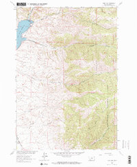
1963 Map of Ruby Dam
USGS Topo · Published 1965About this map
Ruby Dam anchors this Madison County landscape, impounding the waters of the Ruby River to create the Ruby River Reservoir. The area's mid-century character is defined by a blend of water management and high-country ranching, most notably seen at Wonderly Ranch along the western edge. Evidence of historical mining activity persists in the form of Dredge Tailings along the riverbanks, marking the environmental legacy of earlier extraction efforts. Much of the eastern terrain climbs into the Beaverhead National Forest, where a network of drainages like Barton Gulch, Davey Creek, and Jack Creek carve through the high elevations. This survey was conducted as part of the Department of the Interior's broader program for the development of the Missouri River Basin, documenting the essential water resources and infrastructure of the Ruby Valley during the early 1960s.
Find a feature on this map
20 named features on this map. Tap any name to fly to it.
Don’t see what you’re looking for? This feature index may not catch every label — zoom into the map to look around manually.
Map Details
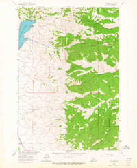
Editions of this 1963 Ruby Dam Map
2 editions found
Other maps of this area

1888 · Three Forks
USGS Topo · 1:250,000

1893 · Dillon
USGS Topo · 1:250,000

1894 · Three Forks
USGS Topo · 1:250,000

1895 · Three Forks
USGS Topo · 1:250,000

1947 · Bozeman
USGS Topo · 1:250,000

1948 · Bozeman
USGS Topo · 1:250,000

1949 · Varney
USGS Topo · 1:62,500

1950 · Virginia City
USGS Topo · 1:62,500

1955 · Bozeman
USGS Topo · 1:250,000

1955 · Dillon
USGS Topo · 1:250,000