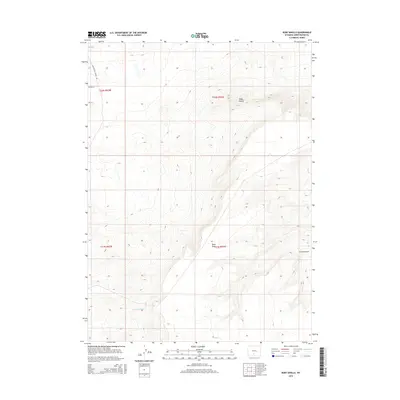
2015 Map of Ruby Knolls
USGS Topo · Published 2015About this map
Ruby Knolls rises as a prominent landmark in this high-desert region of Sweetwater County, where the topography is defined by significant drainage systems. These features are clearly visible through the branching paths of Buck Draw and Creston Draw, which carve through the arid terrain. The map captures a landscape primarily used for water management and transit, as evidenced by the presence of the Fivemile Ditch and the historic path of the Continental Divide Rd cutting across the northwest corner. This 2015 survey provides a modern view of the Public Land Survey System boundaries across Townships 21 and 22 North, illustrating the intersection of natural contours with man-made irrigation and infrastructure in the Great Divide Basin.
Find a feature on this map
9 named features on this map. Tap any name to fly to it.
Don’t see what you’re looking for? This feature index may not catch every label — zoom into the map to look around manually.
Map Details
Editions of this 2015 Ruby Knolls Map
This is the sole edition of this map. No revisions or reprints were ever made.
Other maps of this area

1954 · Rawlins
USGS Topo · 1:250,000

1958 · Rawlins
USGS Topo · 1:250,000

1960 · Hansen Lake NE
USGS Topo · 1:24,000

1960 · Larsen Knoll
USGS Topo · 1:24,000

1960 · Hansen Lake
USGS Topo · 1:24,000

1962 · Rawlins
USGS Topo · 1:250,000

1966 · Jawbone Ranch
USGS Topo · 1:24,000

1966 · Creston Junction
USGS Topo · 1:24,000

1966 · Wamsutter
USGS Topo · 1:24,000

1966 · Monument Lake
USGS Topo · 1:24,000