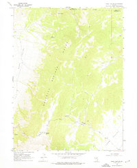
1968 Map of Ruby Lake SE
USGS Topo · Published 1976About this map
Pony Express Station (Site) stands as a focal point of historical significance in this high-desert landscape of eastern Nevada. Situated along the Overland Road, this site marks a corridor of western expansion that navigated the transition between Ruby Valley and Long Valley. The topography is dominated by the Maverick Springs Range, where a series of water sources including Willow Spring, Salas Spring, and Mountain Spring provided critical sustenance for travelers and livestock in an otherwise arid environment. The presence of Dry Well and ephemeral drainage features like Murry Canyon illustrates the hydraulic challenges faced by those traversing these basins. The map also records the Elko Co White Pine Co line, which follows an Indefinite Boundary through the northern portion of the survey area, emphasizing the remote nature of these high-altitude ranges in the late 1960s.
Find a feature on this map
16 named features on this map. Tap any name to fly to it.
Don’t see what you’re looking for? This feature index may not catch every label — zoom into the map to look around manually.
Map Details
Editions of this 1968 Ruby Lake SE Map
2 editions found
Other maps of this area

1955 · Elko
USGS Topo · 1:250,000

1956 · Ely
USGS Topo · 1:250,000

1958 · Elko
USGS Topo · 1:250,000

1959 · Ely
USGS Topo · 1:250,000

1962 · Elko
USGS Topo · 1:250,000

1963 · Ely
USGS Topo · 1:250,000

1965 · Elko
USGS Topo · 1:250,000
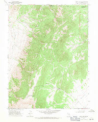
1968 · Ruby Lake SE
USGS Topo · 1:24,000
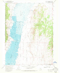
1968 · Ruby Lake NW
USGS Topo · 1:24,000

1968 · Ruby Lake NE
USGS Topo · 1:24,000