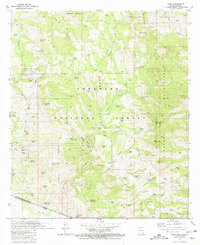
1981 Map of Ruby
USGS Topo · Published 1981About this map
The settlement of Ruby and its surrounding mining district dominate this borderlands landscape within the Coronado National Forest. This survey captures a region defined by its extraction history, documenting numerous silver and lead operations including the Montana Mine, Oro Blanco Mine, and California Mine. The topography is defined by the sharp elevations of the Atascosa Mountains and Tumacacori Mountains, with the United States of America Estados Unidos Mexicanos border forming the southern limit of the sheet. Outside the mining camps, the map identifies localized water management through features like Ruby Lakes, Apache Dams, and various cattle tanks that supported the Bear Valley Ranch and Atascosa Trail Ranch. Notable for genealogists is the marked Cem and several isolated ruins, indicating the once-active community life that thrived here when the mines were at their peak.
Find a feature on this map
100 named features on this map. Tap any name to fly to it.
Don’t see what you’re looking for? This feature index may not catch every label — zoom into the map to look around manually.
Map Details
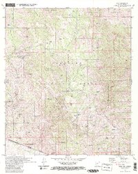
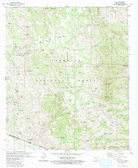
Editions of this 1981 Ruby Map
3 editions found
Other maps of this area

1920 · Arivaca
USGS Topo · 1:125,000

1921 · Old Glory
USGS Topo · 1:125,000

1939 · Tubac
USGS Topo · 1:62,500

1941 · Arivaca
USGS Topo · 1:62,500

1942 · Ruby
USGS Topo · 1:62,500

1942 · Oro Blanco
USGS Topo · 1:62,500

1943 · Arivaca
USGS Topo · 1:62,500

1943 · Old Glory
USGS Topo · 1:125,000

1943 · Tubac
USGS Topo · 1:62,500

1944 · Oro Blanco
USGS Topo · 1:62,500