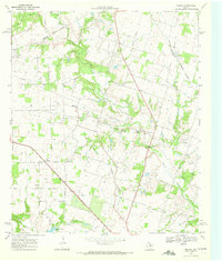
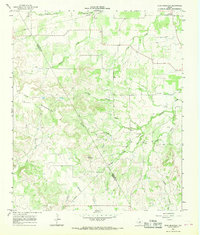
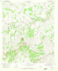
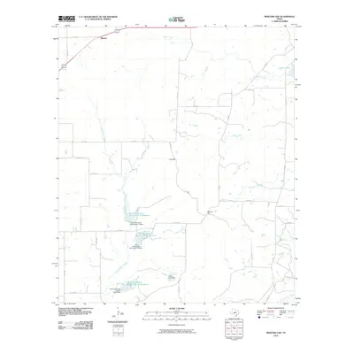
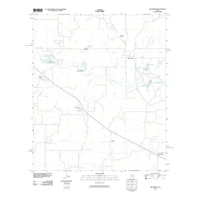
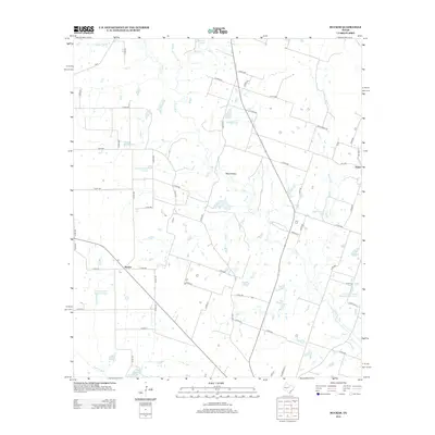
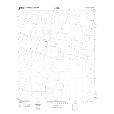
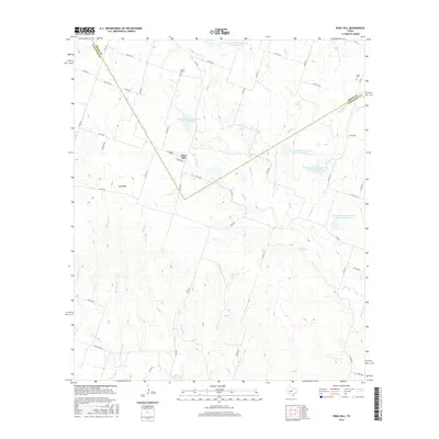
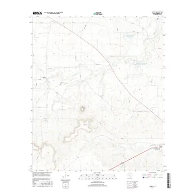
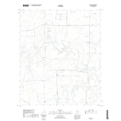
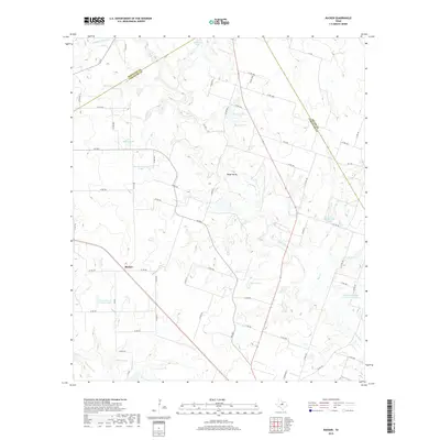
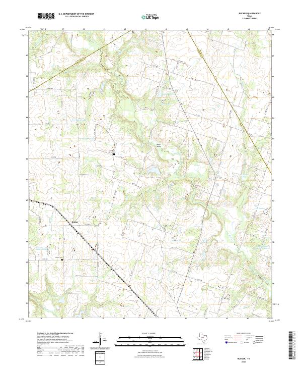
1968 Map of Rucker
USGS Topo · Published 1972About this map
Leon River and Sabana River meander through this landscape in Comanche County, where small agricultural settlements like Rucker and Graves anchor the rural community. The 1968 aerial survey captures a snapshot of the region's energy and transport infrastructure, including several Oil Wells and Gas Wells, alongside the De Leon Pumping Sta. The presence of the Old Railroad Grade and the Texas Central corridor highlights the shifting modes of transport as rail lines gave way to new developments.
Find a feature on this map
26 named features on this map. Tap any name to fly to it.
Don’t see what you’re looking for? This feature index may not catch every label — zoom into the map to look around manually.
Map Details
Editions of this 1968 Rucker Map
This is the sole edition of this map. No revisions or reprints were ever made.
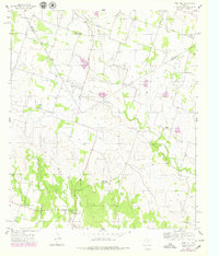
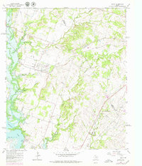
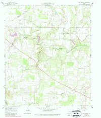
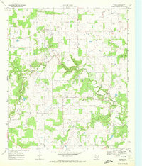
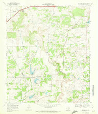
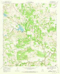
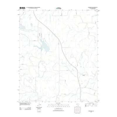
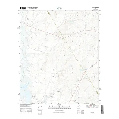
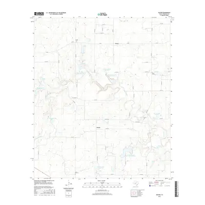
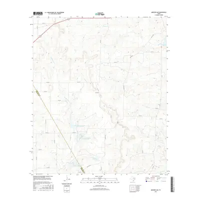
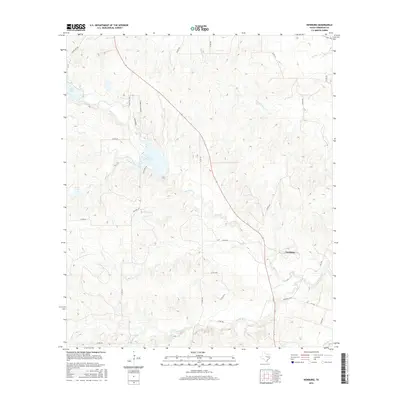
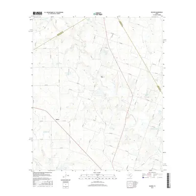
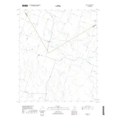
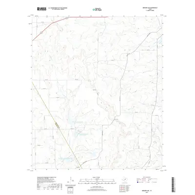
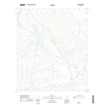
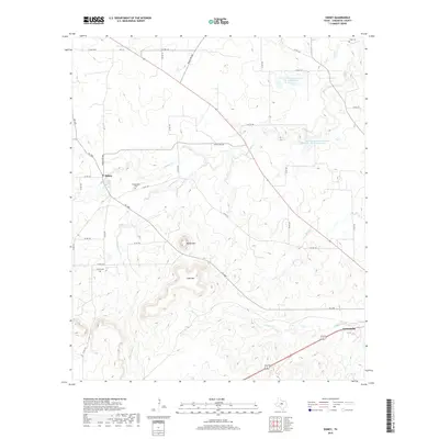
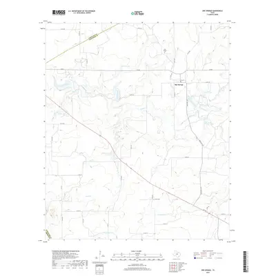
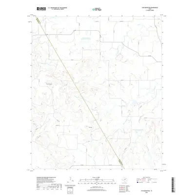
Historical Maps of Rucker Through Time
54 maps found
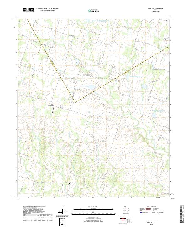
1956 Edna Hill
Comanche County, TX
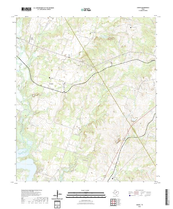
1965 Comyn
Comanche County, TX
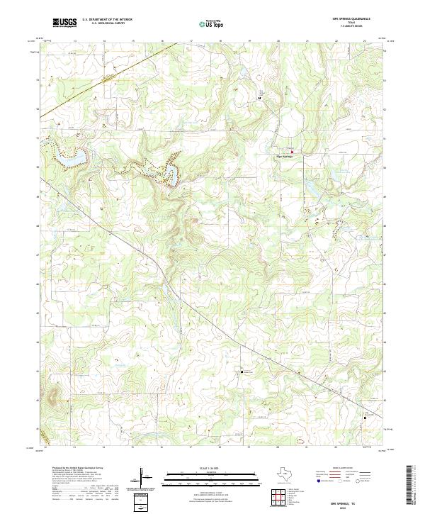
1966 Sipe Springs
Comanche County, TX
1966 Star Mountain
Comanche County, TX
1968 Rucker
Comanche County, TX
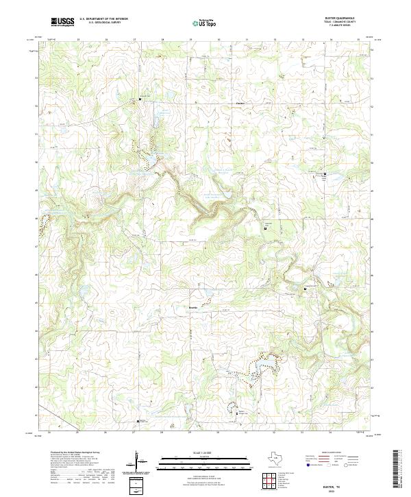
1969 Duster
Comanche County, TX
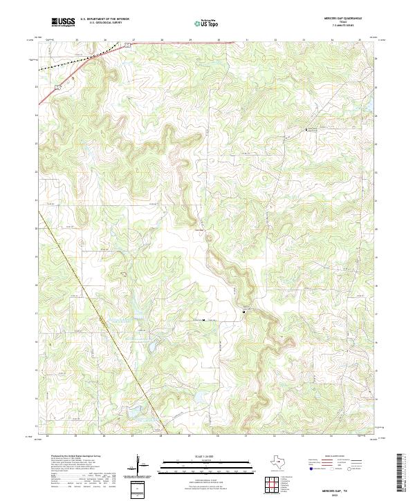
1969 Mercers Gap
Comanche County, TX
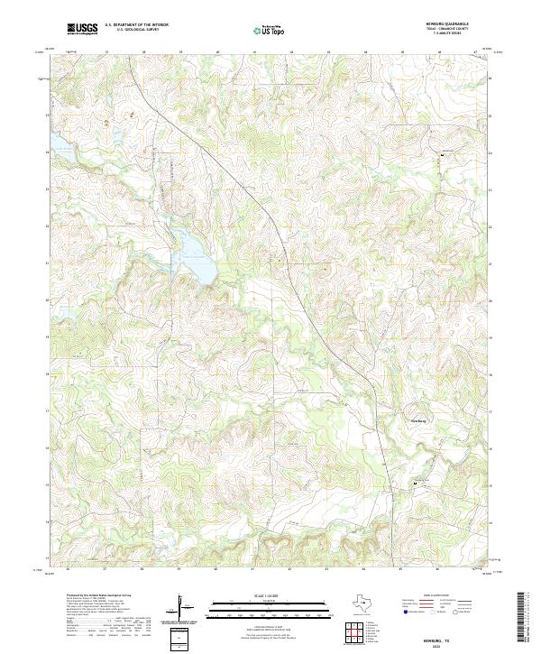
1969 Newburg
Comanche County, TX
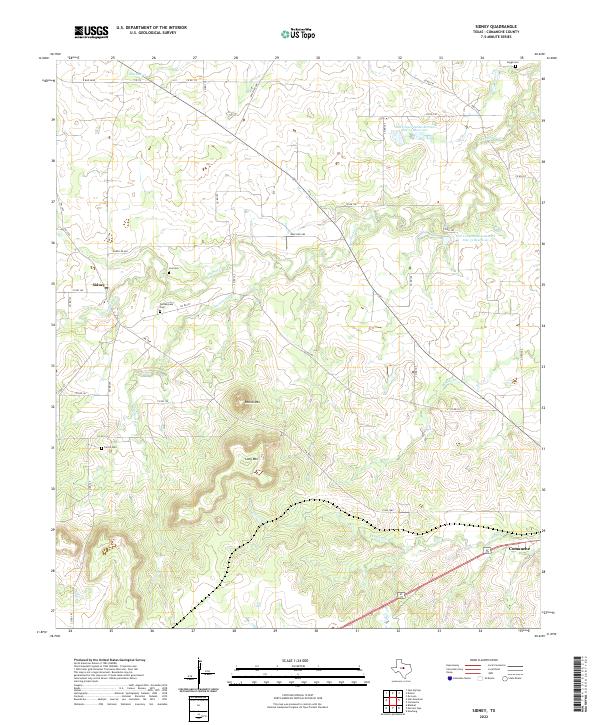
1969 Sidney
Comanche County, TX
2010 Comyn
Comanche County, TX
2010 Duster
Comanche County, TX
2010 Edna Hill
Comanche County, TX
2010 Mercers Gap
Comanche County, TX
2010 Newburg
Comanche County, TX
2010 Rucker
Comanche County, TX
2010 Sidney
Comanche County, TX
2010 Sipe Springs
Comanche County, TX

2010 Star Mountain
Comanche County, TX
2012 Comyn
Comanche County, TX
2012 Duster
Comanche County, TX
2012 Mercers Gap
Comanche County, TX
2012 Rucker
Comanche County, TX
2012 Sidney
Comanche County, TX
2012 Sipe Springs
Comanche County, TX
2012 Star Mountain
Comanche County, TX
2013 Edna Hill
Comanche County, TX
2013 Newburg
Comanche County, TX
2016 Comyn
Comanche County, TX
2016 Duster
Comanche County, TX
2016 Edna Hill
Comanche County, TX
2016 Mercers Gap
Comanche County, TX
2016 Newburg
Comanche County, TX
2016 Rucker
Comanche County, TX
2016 Sidney
Comanche County, TX
2016 Sipe Springs
Comanche County, TX
2016 Star Mountain
Comanche County, TX
2019 Comyn
Comanche County, TX
2019 Duster
Comanche County, TX
2019 Edna Hill
Comanche County, TX
2019 Mercers Gap
Comanche County, TX
2019 Newburg
Comanche County, TX
2019 Rucker
Comanche County, TX
2019 Sidney
Comanche County, TX
2019 Sipe Springs
Comanche County, TX
2019 Star Mountain
Comanche County, TX
2022 Comyn
Comanche County, TX
2022 Duster
Comanche County, TX
2022 Edna Hill
Comanche County, TX
2022 Mercers Gap
Comanche County, TX
2022 Newburg
Comanche County, TX
2022 Rucker
Comanche County, TX
2022 Sidney
Comanche County, TX
2022 Sipe Springs
Comanche County, TX
2022 Star Mountain
Comanche County, TX