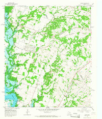
1965 Map of Comyn
USGS Topo · Published 1967About this map
The Comyn settlement occupies a central position in this mid-1960s landscape, situated between the crossing of the Missouri Kansas Texas railroad and the Leon River. This survey documents a transitional era for the region, where rural life revolved around local landmarks such as Pleasant Home Ch and the neighboring Roch community. The southwestern portion of the sheet is dominated by the Proctor Reservoir, which reshaped the geography near the confluence of Mill Creek and Sowells Creek.
Find a feature on this map
24 named features on this map. Tap any name to fly to it.
Don’t see what you’re looking for? This feature index may not catch every label — zoom into the map to look around manually.
Map Details
Editions of this 1965 Comyn Map
2 editions found
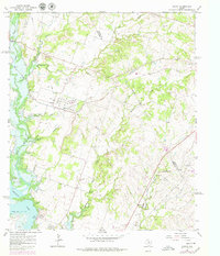
Other maps of this area

1888 · Hamilton
USGS Topo · 1:125,000

1889 · Brownwood
USGS Topo · 1:125,000

1890 · Stephenville
USGS Topo · 1:125,000

1894 · Hamilton
USGS Topo · 1:125,000

1894 · Eastland
USGS Topo · 1:125,000

1894 · Brownwood
USGS Topo · 1:125,000

1920 · Stephenville
USGS Topo · 1:125,000

1954 · Brownwood
USGS Topo · 1:250,000

1954 · Abilene
USGS Topo · 1:250,000

1956 · Gustine
USGS Topo · 1:62,500