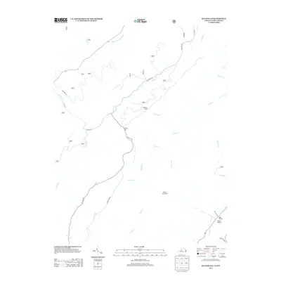
2013 Map of Rucker Gap
USGS Topo · Published 2013About this map
Rucker Gap serves as a central pass through the high ridges of the Virginia and West Virginia borderlands, where the landscape is defined by its complex drainage network. The topography is anchored by heights such as Chestnut Knob and Oliver Mountain, with the surrounding terrain carved by watercourses like Middle Fork Anthonys Cr, Big Lick Cr, and Ogle Cr. This 2013 survey illustrates a sparsely populated region primarily accessed by primitive and secondary routes like Rucker Gap Rd and Ogle Creek Rd. The presence of features such as May Hollow and Rucker Hollow points to the long-standing family associations that have shaped the local geography. The map provides a detailed view of the natural breaks in the mountains that historically governed travel between the high valleys and the lower branches of the Meadow Cr watershed.
Find a feature on this map
27 named features on this map. Tap any name to fly to it.
Don’t see what you’re looking for? This feature index may not catch every label — zoom into the map to look around manually.
Map Details
Editions of this 2013 Rucker Gap Map
This is the sole edition of this map. No revisions or reprints were ever made.
Other maps of this area

1887 · Lewisburg
USGS Topo · 1:125,000

1891 · Lewisburg
USGS Topo · 1:125,000

1891 · Huntersville
USGS Topo · 1:125,000

1894 · Huntersville
USGS Topo · 1:125,000

1894 · Natural Bridge
USGS Topo · 1:125,000

1901 · Monterey
USGS Topo · 1:125,000

1921 · Callaghan
USGS Topo · 1:48,000

1923 · Marlinton
USGS Topo · 1:48,000

1923 · Warm Springs
USGS Topo · 1:48,000

1923 · Callaghan
USGS Topo · 1:62,500