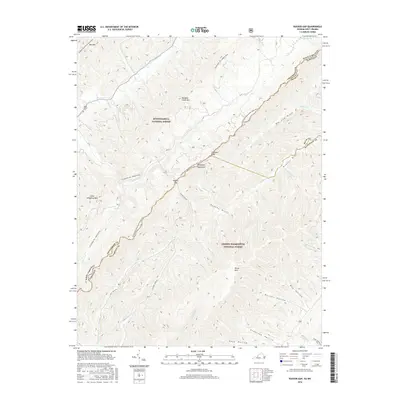
2016 Map of Rucker Gap
USGS Topo · Published 2016About this map
Rucker Gap marks a significant crossing point in the Allegheny Mountains, straddling the high border country between West Virginia and Virginia. This rugged forest landscape is shared by the Monongahela National Forest and the George Washington National Forest, where steep ridges like Meadow Creek Mtn and Chestnut Knob define the drainage patterns. The topography is characterized by deep, narrow hollows and drafts, including Big Lick Draft and Rucker Hollow, which channel numerous mountain streams such as Hughes Cr and Big Lick Cr.
Find a feature on this map
44 named features on this map. Tap any name to fly to it.
Don’t see what you’re looking for? This feature index may not catch every label — zoom into the map to look around manually.
Map Details
Editions of this 2016 Rucker Gap Map
This is the sole edition of this map. No revisions or reprints were ever made.
Other maps of this area

1887 · Lewisburg
USGS Topo · 1:125,000

1891 · Lewisburg
USGS Topo · 1:125,000

1891 · Huntersville
USGS Topo · 1:125,000

1894 · Huntersville
USGS Topo · 1:125,000

1894 · Natural Bridge
USGS Topo · 1:125,000

1901 · Monterey
USGS Topo · 1:125,000

1921 · Callaghan
USGS Topo · 1:48,000

1923 · Marlinton
USGS Topo · 1:48,000

1923 · Warm Springs
USGS Topo · 1:48,000

1923 · Callaghan
USGS Topo · 1:62,500