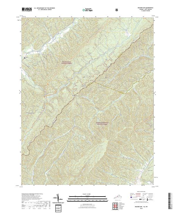
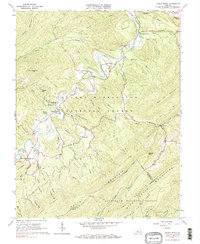
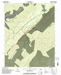
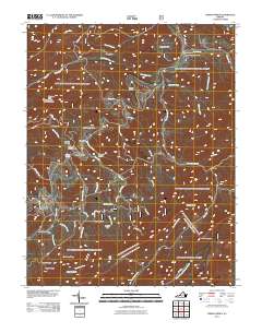
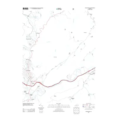
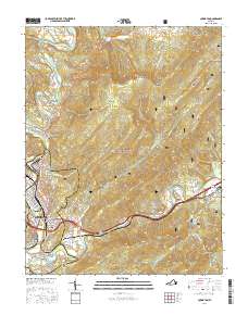
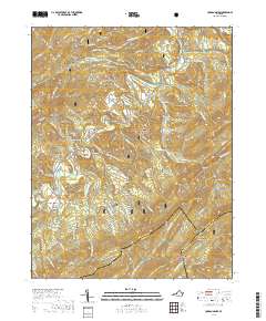
2022 Map of Rucker Gap
USGS Topo · Published 2022About this map
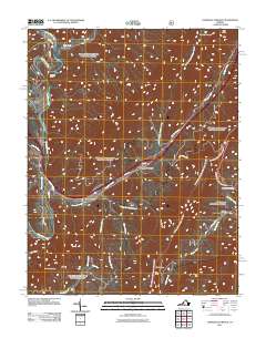
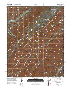
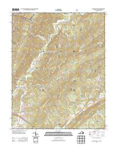
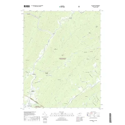
Monongahela National Forest and George Washington National Forest converge at the high ridges of the Allegheny Mountains, marking a complex intersection of state and county lines between Virginia and West Virginia. This 2022 survey documents the contemporary landscape of the Rucker Gap area, where historical settlements like Watts and Morris Hill sit on the periphery of vast protected woodlands. The terrain is defined by deeply carved hollows and drafts, such as Big Lick Draft and Hickory Lick, which dictate the path of old forest roads and modern trails. Local genealogy is anchored by sites like Chapel Cem near the northwestern boundary. The mapping of Ogle Creek Rd and Johnson Creek Rd highlights the limited but vital corridor system through these high-elevation passes, connecting remote reaches of Greenbrier, Alleghany, and Bath counties.
Find a feature on this map
49 named features on this map. Tap any name to fly to it.
Don’t see what you’re looking for? This feature index may not catch every label — zoom into the map to look around manually.
Map Details
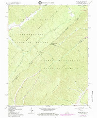
Editions of this 2022 Rucker Gap Map
This is the sole edition of this map. No revisions or reprints were ever made.
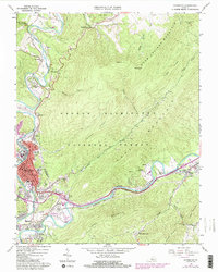
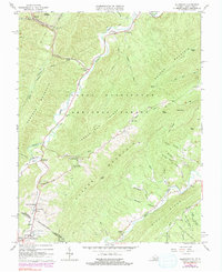
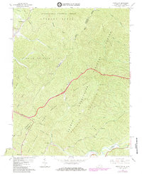
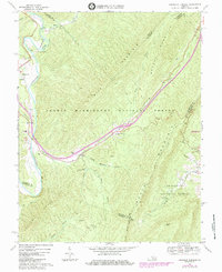
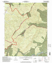
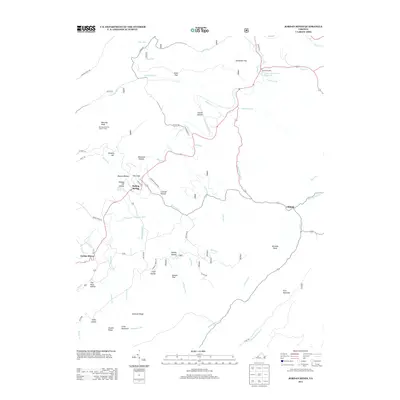
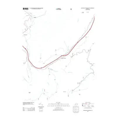
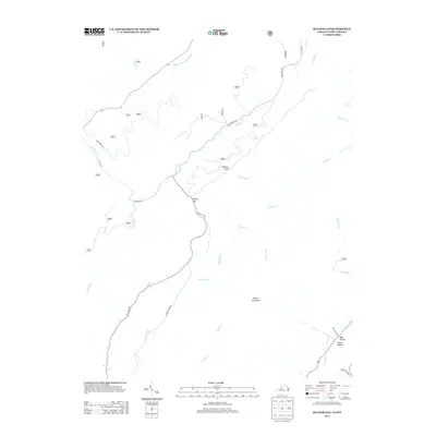
Historical Maps of Rucker Gap Through Time
38 maps found
1962 Covington
Alleghany County, VA
1966 Allegany
Alleghany County, VA
1966 Jerrys Run
Alleghany County, VA
1966 Jordan Mines
Alleghany County, VA
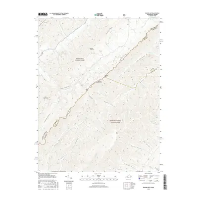
1966 Rucker Gap
Alleghany County, VA
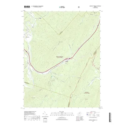
1969 Longdale Furnace
Alleghany County, VA
1995 Jerrys Run
Alleghany County, VA
1995 Rucker Gap
Alleghany County, VA
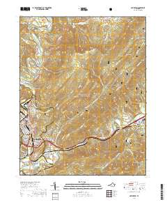
2011 Alleghany
Alleghany County, VA
2011 Covington
Alleghany County, VA
2011 Jerrys Run
Alleghany County, VA
2011 Jordan Mines
Alleghany County, VA
2011 Longdale Furnace
Alleghany County, VA
2011 Rucker Gap
Alleghany County, VA
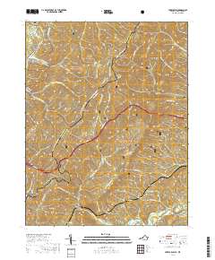
2013 Alleghany
Alleghany County, VA
2013 Covington
Alleghany County, VA

2013 Jerrys Run
Alleghany County, VA
2013 Jordan Mines
Alleghany County, VA
2013 Longdale Furnace
Alleghany County, VA
2013 Rucker Gap
Alleghany County, VA

2016 Alleghany
Alleghany County, VA
2016 Covington
Alleghany County, VA
2016 Jerrys Run
Alleghany County, VA
2016 Jordan Mines
Alleghany County, VA
2016 Longdale Furnace
Alleghany County, VA
2016 Rucker Gap
Alleghany County, VA
2019 Alleghany
Alleghany County, VA
2019 Covington
Alleghany County, VA
2019 Jerrys Run
Alleghany County, VA
2019 Jordan Mines
Alleghany County, VA
2019 Longdale Furnace
Alleghany County, VA

2019 Rucker Gap
Alleghany County, VA
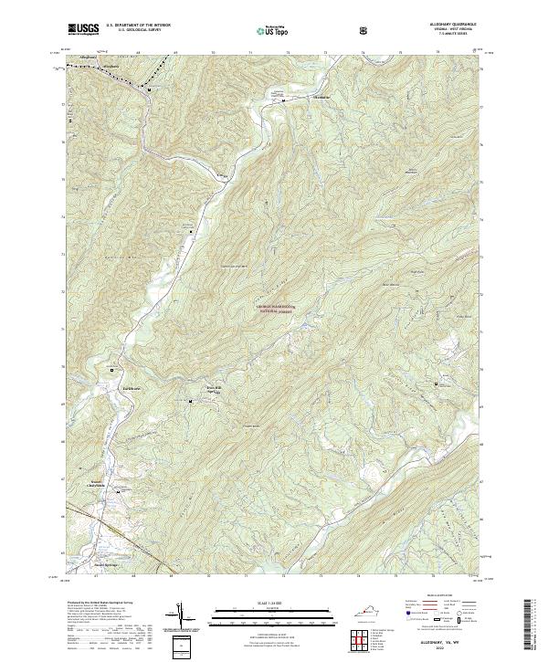
2022 Alleghany
Alleghany County, VA
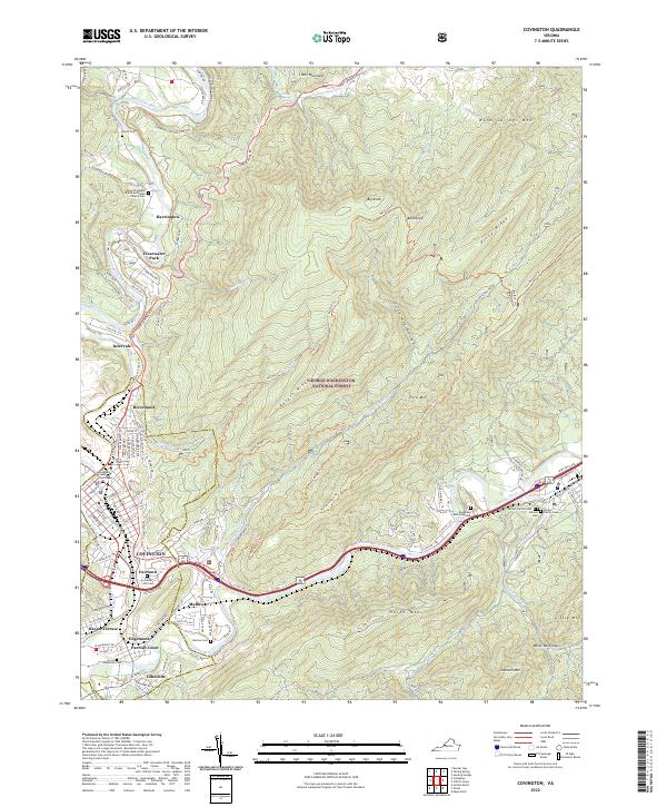
2022 Covington
Alleghany County, VA
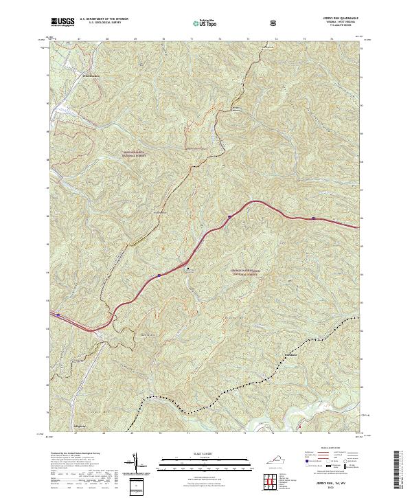
2022 Jerrys Run
Alleghany County, VA
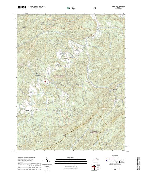
2022 Jordan Mines
Alleghany County, VA
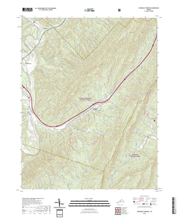
2022 Longdale Furnace
Alleghany County, VA
2022 Rucker Gap
Alleghany County, VA