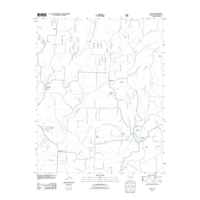
2011 Map of Rudy
USGS Topo · Published 2011About this map
Frog Bayou carves a path through the Crawford County hills, anchoring a landscape defined by small settlements and the persistent industry of the Rudy Gas Field. Near the village of Rudy, the BNSF Railway parallels the water, marking a corridor of transport that has long supported local commerce. The map reveals a dense network of family and community history, evidenced by the numerous burial grounds scattered across the terrain, including Spencer Cemetery, Oliver Cemetery, and Mount McCurry Cemetery.
Find a feature on this map
108 named features on this map. Tap any name to fly to it.
Don’t see what you’re looking for? This feature index may not catch every label — zoom into the map to look around manually.
Map Details
Editions of this 2011 Rudy Map
This is the sole edition of this map. No revisions or reprints were ever made.
Other maps of this area

1879 · Fort Smith
USGS Topo · 1:62,500

1887 · Van Buren
USGS Topo · 1:62,500

1890 · Fort Smith
USGS Topo · 1:125,000

1898 · Winslow #4
USGS Topo · 1:62,500

1898 · Winslow #3
USGS Topo · 1:62,500

1898 · Winslow
USGS Topo · 1:125,000

1901 · Winslow
USGS Topo · 1:125,000

1906 · Lavaca
USGS Topo · 1:62,500

1943 · Fort Smith
USGS Topo · 1:125,000

1946 · Fort Smith
USGS Topo · 1:250,000