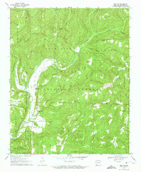
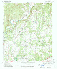
1970 Map of Rudy NE
USGS Topo · Published 1972About this map
Ozark National Forest dominates this Crawford County landscape, where the deeply carved valleys of Lee Creek and Fall Creek cut through the Boston Mountains terrain. In the early 1970s, this area reflects a rural pattern of isolated family cemeteries and small mountain churches, such as No 12 Church and Shamrock Ch. The map details a network of water sources including Whiskey Spring, Flowing Well, and the Switchback Lake impoundment, which supported the local livestock and timber economy. Evidence of the region’s early settlement persists through family-named landmarks like Bradford Knob, Kimes Mountain, and Lockard Mountain. At the southern edge, the community of Cedarville serves as a small hub for the surrounding ridges of Cedar Mountain and Grassy Mountain, marking the transition from the protected forest boundaries to private agricultural holdings.
Find a feature on this map
41 named features on this map. Tap any name to fly to it.
Don’t see what you’re looking for? This feature index may not catch every label — zoom into the map to look around manually.
Map Details
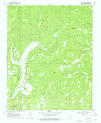
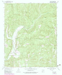
Editions of this 1970 Rudy NE Map
3 editions found
Other maps of this area

1898 · Winslow #4
USGS Topo · 1:62,500

1898 · Winslow #3
USGS Topo · 1:62,500

1898 · Winslow
USGS Topo · 1:125,000

1901 · Winslow
USGS Topo · 1:125,000

1946 · Fort Smith
USGS Topo · 1:250,000

1965 · Fort Smith
USGS Topo · 1:250,000

1967 · Fort Smith
USGS Topo · 1:250,000
1969 · Uniontown
USGS Topo · 1:24,000

1969 · Natural Dam
USGS Topo · 1:24,000
1969 · Mountainburg SW
USGS Topo · 1:24,000