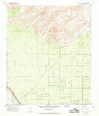
1968 Map of Ruelas Canyon
USGS Topo · Published 1969About this map
The Tortolita Mountains dominate the northern landscape of this region, giving way to a network of desert canyons and sprawling ranchlands in the late 1960s. Family-named outposts like Mc Kenzie Ranch, T-Bench-Bar Ranch, and Jurko Ranch are scattered across the alluvial fans, connected by primitive Jeep Trails and newly established thoroughfares such as El Camino De Manana. The southwestern corner of the area is defined by the corridor of the Santa Cruz River, where the Southern Pacific railroad line follows the watercourse. This era shows the early transition of the desert floor from traditional ranching toward modern infrastructure, evidenced by the appearing grid of roads like Tangerine Road and La Cholla Boulevard alongside established landmarks like the local Substation.
Find a feature on this map
38 named features on this map. Tap any name to fly to it.
Don’t see what you’re looking for? This feature index may not catch every label — zoom into the map to look around manually.
Map Details
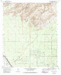
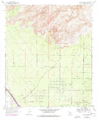
Editions of this 1968 Ruelas Canyon Map
3 editions found
Other maps of this area

1904 · Tucson
USGS Topo · 1:125,000

1905 · Tucson
USGS Topo · 1:125,000

1911 · Winkelman
USGS Topo · 1:125,000

1913 · Winkelman
USGS Topo · 1:125,000

1934 · Tucson Mountains
USGS Topo · 1:125,000

1934 · Newman Peak
USGS Topo · 1:125,000

1947 · Cortaro
USGS Topo · 1:62,500

1956 · Tucson
USGS Topo · 1:250,000

1957 · Cortaro
USGS Topo · 1:62,500
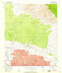
1957 · Tucson North
USGS Topo · 1:24,000