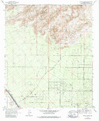
1968 Map of Ruelas Canyon
USGS Topo · Published 1975About this map
The Tortolita Mountains dominate the northern landscape of this Pima County quadrangle, where high desert peaks give way to the drainage systems of Wild Burro Canyon and Ruelas Canyon. This 1968 survey reveals a transitional area of Southern Arizona defined by its ranching heritage and the early expansion of the Tucson-area road network. Family-named properties like Jurko Ranch, Oasis Ranch, and Bonnie Brae Ranch are interspersed with a growing grid of thoroughfares, including Tangerine Road and Thornydale Road. In the southwest corner, the Santa Cruz River and the Southern Pacific railroad corridor provide a stark contrast to the rugged uplands, marking the vital transportation artery through the desert. Small-scale mining and industrial activity are evident at various Prospects and a Gravel Pit, while a local Landing Field and a Trailer Park signal shifting land use in the mid-20th century.
Find a feature on this map
41 named features on this map. Tap any name to fly to it.
Don’t see what you’re looking for? This feature index may not catch every label — zoom into the map to look around manually.
Map Details
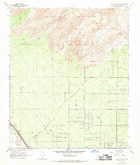
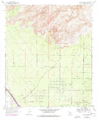
Editions of this 1968 Ruelas Canyon Map
3 editions found
Other maps of this area

1904 · Tucson
USGS Topo · 1:125,000

1905 · Tucson
USGS Topo · 1:125,000

1911 · Winkelman
USGS Topo · 1:125,000

1913 · Winkelman
USGS Topo · 1:125,000

1934 · Tucson Mountains
USGS Topo · 1:125,000

1934 · Newman Peak
USGS Topo · 1:125,000

1947 · Cortaro
USGS Topo · 1:62,500

1956 · Tucson
USGS Topo · 1:250,000

1957 · Cortaro
USGS Topo · 1:62,500
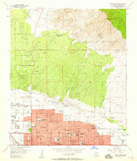
1957 · Tucson North
USGS Topo · 1:24,000