
1952 Map of Rugby
USGS Topo · Published 1953About this map
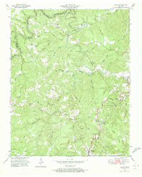
Rugby and the surrounding plateau communities in Morgan and Scott Counties are documented here shortly after the mid-century. The landscape is defined by the winding course of the Clear Fork River and Whiteoak Creek, where natural landmarks like Horseshoe Bend and Red Cliff break the forested terrain. The economic life of the region is visible through the Southern Railway line, which passes through Sunbright and Glenmary, utilizing the Sixteen Tunnel and Mud Cut to navigate the hills.
Find a feature on this map
80 named features on this map. Tap any name to fly to it.
Don’t see what you’re looking for? This feature index may not catch every label — zoom into the map to look around manually.
Map Details
Editions of this 1952 Rugby Map
4 editions found
Other maps of this area

1895 · Wartburg
USGS Topo · 1:125,000

1896 · Wartburg
USGS Topo · 1:125,000

1935 · Gobey
USGS Topo · 1:24,000

1935 · Pilot Mountain
USGS Topo · 1:24,000

1936 · Twin Bridges
USGS Topo · 1:24,000

1943 · Twin Bridges
USGS Topo · 1:24,000
1945 · Twin Bridges
USGS Topo · 1:24,000
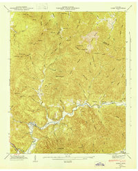
1946 · Gobey
USGS Topo · 1:24,000
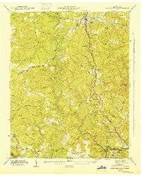
1946 · Pilot Mountain
USGS Topo · 1:24,000

1952 · Helenwood
USGS Topo · 1:24,000