
1971 Map of Rugby NE
USGS Topo · Published 1973About this map
Sand Lake and a mosaic of smaller prairie potholes dominate this landscape in Pierce County, as documented in the late 1960s and early 1970s. The region is characterized by extensive conservation efforts, with the Juniata National Wildlife Refuge and Boyer National Wildlife Refuge protecting vital habitats for migratory waterfowl within the Central Flyway. These protected areas are interspersed with numerous smaller National Wildlife Refuge tracts, reflecting the importance of this glacial terrain for conservation. Human activity is sparse across the township lines of Townships 157 and 158 North, primarily represented by rural section lines and occasional Gravel Pits. The map provides a detailed view of the natural water distribution and the established boundaries of the Range 70 and 71 West grids.
Find a feature on this map
8 named features on this map. Tap any name to fly to it.
Don’t see what you’re looking for? This feature index may not catch every label — zoom into the map to look around manually.
Map Details
Editions of this 1971 Rugby NE Map
This is the sole edition of this map. No revisions or reprints were ever made.
Other maps of this area

1953 · Devils Lake
USGS Topo · 1:250,000

1954 · Rugby NW
USGS Topo · 1:24,000

1955 · Rugby
USGS Topo · 1:24,000

1955 · Rolette SW
USGS Topo · 1:24,000

1956 · Devils Lake
USGS Topo · 1:250,000

1971 · Wolford
USGS Topo · 1:24,000

1971 · Island Lake
USGS Topo · 1:24,000

1971 · Knox
USGS Topo · 1:24,000
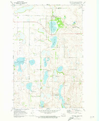
1971 · Pleasant Lake
USGS Topo · 1:24,000
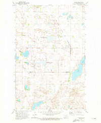
1971 · Nanson
USGS Topo · 1:24,000