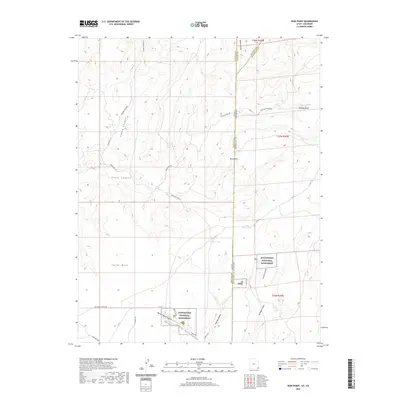
2020 Map of Ruin Point
USGS Topo · Published 2020About this map
Hovenweep National Monument preserves a complex archaeological landscape along the Utah-Colorado border, characterized by deep incisions like Square Tower Canyon and Little Ruin Canyon. The terrain transitions from the high elevations of Cajon Mesa and the prominent Ruin Point down into the drainage networks of Cross Canyon and Bridge Canyon. This modern survey documents the intricate trail systems that allow for the exploration of these ancestral sites, including the Ruins Loop Trail and Holly Trail.
Find a feature on this map
37 named features on this map. Tap any name to fly to it.
Don’t see what you’re looking for? This feature index may not catch every label — zoom into the map to look around manually.
Map Details
Editions of this 2020 Ruin Point Map
This is the sole edition of this map. No revisions or reprints were ever made.
Other maps of this area

1886 · Abajo
USGS Topo · 1:250,000

1892 · Abajo
USGS Topo · 1:250,000

1893 · Abajo
USGS Topo · 1:250,000

1955 · Verdure 4 SW
USGS Topo · 1:24,000

1956 · Cortez
USGS Topo · 1:250,000

1957 · Moqui NW
USGS Topo · 1:24,000

1957 · Aneth 1 NE
USGS Topo · 1:24,000

1957 · Cedar 3 SW
USGS Topo · 1:24,000

1957 · Aneth 1 NW
USGS Topo · 1:24,000

1957 · Moqui SW
USGS Topo · 1:24,000