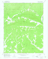
1964 Map of Rules Hill
USGS Topo · Published 1975About this map
The Florida River and its numerous tributaries, including True Creek and Shearer Creek, dominate this mid-1960s landscape in the San Juan National Forest. The map documents a rugged wilderness setting marked by family-named landmarks and early infrastructure. Shrock Cem sits near the upper reaches of the river, providing a significant point of interest for genealogists researching the area's early inhabitants.
Find a feature on this map
26 named features on this map. Tap any name to fly to it.
Don’t see what you’re looking for? This feature index may not catch every label — zoom into the map to look around manually.
Map Details
Editions of this 1964 Rules Hill Map
3 editions found
Other maps of this area

1898 · Durango
USGS Topo · 1:62,500

1907 · Durango
USGS Topo · 1:62,500

1908 · Ignacio
USGS Topo · 1:125,000

1908 · Durango
USGS Topo · 1:62,500

1924 · Ignacio
USGS Topo · 1:125,000

1945 · Durango
USGS Topo · 1:250,000

1953 · Durango
USGS Topo · 1:250,000

1954 · Durango
USGS Topo · 1:250,000

1961 · Durango
USGS Topo · 1:250,000

1963 · Durango
USGS Topo · 1:250,000