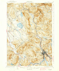
1930 Map of Rumford
USGS Topo · Published 1938About this map
Industrial activity and rural settlement define the Androscoggin River valley in this late 1920s survey. The concentration of development around Rumford, Mexico, and Ridlonville highlights the era's regional economic hub, where the Maine Central railroad tracks follow the river's curve past Smith Crossing. Beyond the mills and yards of the valley floor, the landscape transitions into a network of upland farms and timberlands, marked by numerous small schoolhouses like Walton Sch and North Rumford Sch.
Find a feature on this map
96 named features on this map. Tap any name to fly to it.
Don’t see what you’re looking for? This feature index may not catch every label — zoom into the map to look around manually.
Map Details
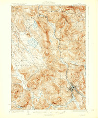
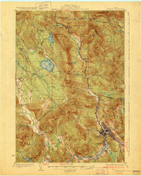
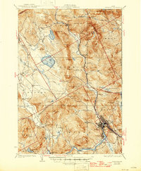
Editions of this 1930 Rumford Map
5 editions found
Other maps of this area

1911 · Bryant Pond
USGS Topo · 1:62,500

1911 · Buckfield
USGS Topo · 1:62,500

1913 · Buckfield
USGS Topo · 1:62,500

1914 · Bethel
USGS Topo · 1:62,500

1914 · Bryant Pond
USGS Topo · 1:62,500

1926 · Dixfield
USGS Topo · 1:62,500

1927 · Rumford
USGS Topo · 1:48,000

1929 · Phillips
USGS Topo · 1:48,000

1929 · Dixfield
USGS Topo · 1:62,500

1930 · Rumford
USGS Topo · 1:62,500