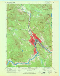
1969 Map of Rumford
USGS Topo · Published 1972About this map
The industrial and community core of western Maine is captured here at the confluence of the Swift River and the Androscoggin River. The map details the dense urban development of Rumford and Mexico, including the extensive infrastructure of the Rumford Falls Powerplant and the Maine Central railroad corridor. While the riverbanks are defined by industry and commerce, the surrounding hillsides are dotted with local landmarks like Glass Face Mountain and North Twin Mtn.
Find a feature on this map
72 named features on this map. Tap any name to fly to it.
Don’t see what you’re looking for? This feature index may not catch every label — zoom into the map to look around manually.
Map Details
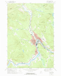
Editions of this 1969 Rumford Map
2 editions found
Other maps of this area

1911 · Bryant Pond
USGS Topo · 1:62,500

1911 · Buckfield
USGS Topo · 1:62,500

1913 · Buckfield
USGS Topo · 1:62,500

1914 · Bryant Pond
USGS Topo · 1:62,500

1926 · Dixfield
USGS Topo · 1:62,500

1927 · Rumford
USGS Topo · 1:48,000

1929 · Dixfield
USGS Topo · 1:62,500

1930 · Rumford
USGS Topo · 1:62,500

1942 · Buckfield
USGS Topo · 1:62,500

1942 · Bryant Pond
USGS Topo · 1:62,500