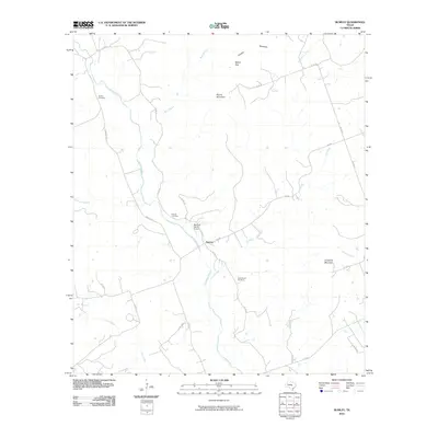
2010 Map of Rumley
USGS Topo · Published 2010About this map
Rumley serves as the central settlement in this Lampasas County landscape, situated near where the Lampasas River meets Fall Creek. The terrain is defined by distinct limestone elevations including Round Mountain and Crawford Mountain, with natural passages like Belton Gap providing historical transit corridors through the Texas Hill Country. For those tracing family histories, several burial grounds are preserved across the area, from the Smith Cemetery in the northwest to the Garner Cemetery and Rock Church Cemetery further south. The map reflects a rural economy shaped by ranching and small-scale aviation, evidenced by the Marshall Ranch Airport. A network of country roads, such as FM 580 and Farm Rd 2527, connects these dispersed landmarks across a region drained by numerous tributaries like Bear Branch and Lucy Creek.
Find a feature on this map
32 named features on this map. Tap any name to fly to it.
Don’t see what you’re looking for? This feature index may not catch every label — zoom into the map to look around manually.
Map Details
Editions of this 2010 Rumley Map
This is the sole edition of this map. No revisions or reprints were ever made.
Other maps of this area

1887 · Lampasas
USGS Topo · 1:125,000

1894 · Lampasas
USGS Topo · 1:125,000

1894 · Gatesville
USGS Topo · 1:125,000

1947 · Fort Hood
USGS Topo · 1:62,500

1947 · Purmela
USGS Topo · 1:62,500

1947 · Pidcoke
USGS Topo · 1:24,000

1947 · Twin Moutains
USGS Topo · 1:24,000

1947 · Copperas Cove
USGS Topo · 1:24,000

1954 · Brownwood
USGS Topo · 1:250,000

1954 · Evant
USGS Topo · 1:62,500