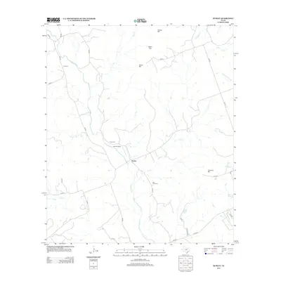
2012 Map of Rumley
USGS Topo · Published 2012About this map
The Lampasas River winds through this central Texas landscape, anchoring a rural community centered on the settlement of Rumley. The terrain is defined by distinct limestone elevations such as Franklin Mtn and Crawford Mtn, with Belton Gap providing a natural passage through the high ground. Local genealogy is well-represented by several established burial sites, including Smith Cem, Garner Cem, and the Rock Church Cem. Small aviation activity is noted at the Worrell Airport, while numerous seasonal waterways like Lucy Cr, Fall Cr, and Bear Br branch out across the ranching country. The network of county roads and farm-to-market routes, such as FM-580, illustrates the modern connectivity of this sparsely populated portion of Lampasas County.
Find a feature on this map
40 named features on this map. Tap any name to fly to it.
Don’t see what you’re looking for? This feature index may not catch every label — zoom into the map to look around manually.
Map Details
Editions of this 2012 Rumley Map
This is the sole edition of this map. No revisions or reprints were ever made.
Other maps of this area

1887 · Lampasas
USGS Topo · 1:125,000

1894 · Lampasas
USGS Topo · 1:125,000

1894 · Gatesville
USGS Topo · 1:125,000

1947 · Fort Hood
USGS Topo · 1:62,500

1947 · Purmela
USGS Topo · 1:62,500

1947 · Pidcoke
USGS Topo · 1:24,000

1947 · Twin Moutains
USGS Topo · 1:24,000

1947 · Copperas Cove
USGS Topo · 1:24,000

1954 · Brownwood
USGS Topo · 1:250,000

1954 · Evant
USGS Topo · 1:62,500