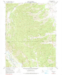
1959 Map of Rumsey
USGS Topo · Published 1991About this map
Rumsey lies at the southern edge of this landscape, situated along the banks of Cache Creek where the waterway enters the broad valley of Cañada de Capay. The terrain is defined by a dense network of drainages and ridges, including the appropriately named Petroleum Creek and several Oil Test Wells, indicating early mineral exploration in the region. To the south, the Blue Cliffs overlook the valley floor, while the rugged backcountry is marked by features such as Whisky Creek and Elk Creek. This 1959 survey records the border between Colusa and Yolo counties as it traverses the upland ridges. Small settlements like Graves and the Rancheria provide key points of reference for local historians, alongside technical infrastructure like the Gaging Sta near the creek bend.
Find a feature on this map
26 named features on this map. Tap any name to fly to it.
Don’t see what you’re looking for? This feature index may not catch every label — zoom into the map to look around manually.
Map Details
Editions of this 1959 Rumsey Map
4 editions found
Other maps of this area

1905 · Harrington
USGS Topo · 1:24,000

1907 · Colusa
USGS Topo · 1:62,500

1916 · Harrington
USGS Topo · 1:31,680

1918 · Spring Valley
USGS Topo · 1:31,680
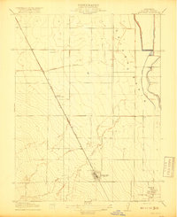
1918 · Arbuckle
USGS Topo · 1:31,680

1920 · Venado
USGS Topo · 1:62,500

1942 · Colusa
USGS Topo · 1:62,500

1943 · Morgan Valley
USGS Topo · 1:62,500

1944 · Wilbur Springs
USGS Topo · 1:62,500

1944 · Morgan Valley
USGS Topo · 1:62,500