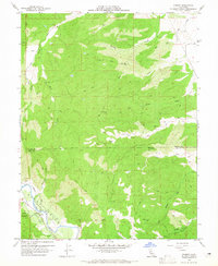
1959 Map of Rumsey
USGS Topo · Published 1965About this map
Rumsey lies at the heart of the Cañada De Los Capayas, where the waters of Cache Creek cut through the northern Capay Valley. This 1959 field-checked survey reveals a landscape defined by sharp elevation changes, from the Blue Cliffs to the peak of VABM Guinda 1798. The map documents the Rumsey Rancheria near the creek's bend, alongside infrastructure such as a Gaging Sta and early Oil Test Well sites.
Find a feature on this map
26 named features on this map. Tap any name to fly to it.
Don’t see what you’re looking for? This feature index may not catch every label — zoom into the map to look around manually.
Map Details
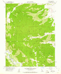
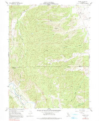
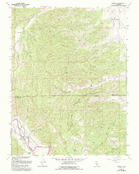
Editions of this 1959 Rumsey Map
4 editions found
Other maps of this area

1905 · Harrington
USGS Topo · 1:24,000

1907 · Colusa
USGS Topo · 1:62,500

1916 · Harrington
USGS Topo · 1:31,680

1918 · Spring Valley
USGS Topo · 1:31,680
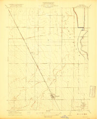
1918 · Arbuckle
USGS Topo · 1:31,680

1920 · Venado
USGS Topo · 1:62,500

1942 · Colusa
USGS Topo · 1:62,500

1943 · Morgan Valley
USGS Topo · 1:62,500

1944 · Wilbur Springs
USGS Topo · 1:62,500

1944 · Morgan Valley
USGS Topo · 1:62,500