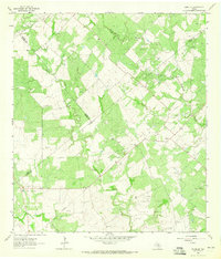
1963 Map of Runge SE
USGS Topo · Published 1965About this map
Nordheim sits at the northern edge of this South Texas landscape, where the agricultural plains transition into an intensive energy-producing corridor. This mid-century survey documents the dense concentration of petroleum activity across the border of De Witt, Goliad, and Karnes counties. The map identifies numerous production zones including the Slick Oil Field, Boceta Oil Field, and the Cabeza Creek Oil Field, revealing how the extraction industry reshaped the local economy and land use. Numerous gas wells, oil wells, and pipelines crisscross the drainage basins of Manahuilla Creek and Cabeza Creek. While Nordheim remains a primary settlement, the map also preserves the location of Melrose (Site), providing a valuable point of reference for genealogists and local historians tracing the evolution of regional communities and rural crossroads.
Find a feature on this map
23 named features on this map. Tap any name to fly to it.
Don’t see what you’re looking for? This feature index may not catch every label — zoom into the map to look around manually.
Map Details
Editions of this 1963 Runge SE Map
2 editions found
Other maps of this area

1953 · Beeville
USGS Topo · 1:250,000

1956 · Beeville
USGS Topo · 1:250,000

1960 · Beeville
USGS Topo · 1:250,000

1962 · Goliad
USGS Topo · 1:24,000
1963 · Choate
USGS Topo · 1:24,000

1963 · Weesatche
USGS Topo · 1:24,000
1963 · Berclair NW
USGS Topo · 1:24,000
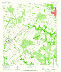
1963 · Yorktown West
USGS Topo · 1:24,000
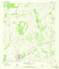
1963 · Runge
USGS Topo · 1:24,000
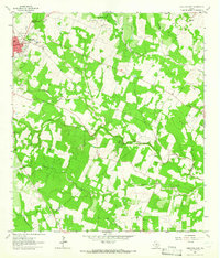
1963 · Yorktown East
USGS Topo · 1:24,000