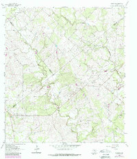
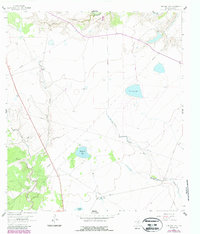
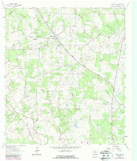
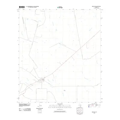
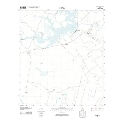
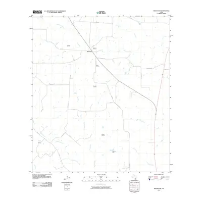
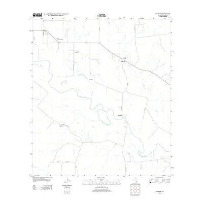
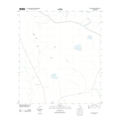
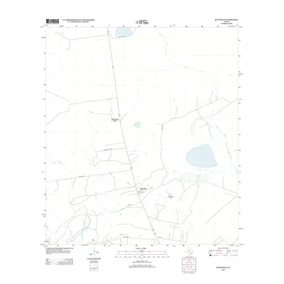
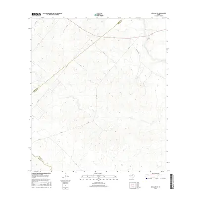
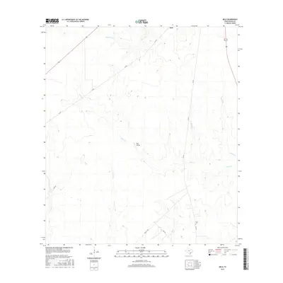
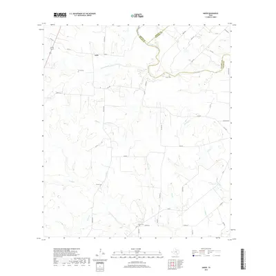
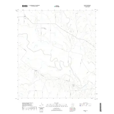
1963 Map of Runge SE
USGS Topo · Published 1987About this map
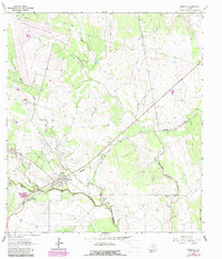
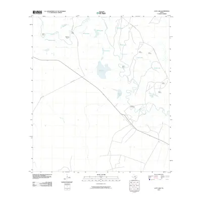
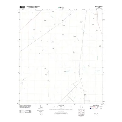
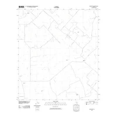
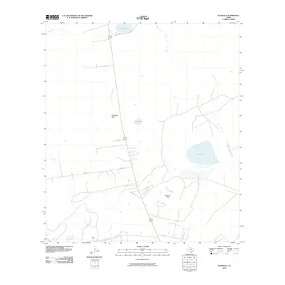
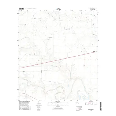
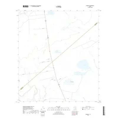
Nordheim stands at the northwestern corner of this territory where the borders of De Witt, Karnes, and Goliad counties converge. The landscape is defined by a dense network of petroleum exploration and production, illustrated by the widespread Slick Oil Field and Cabeza Creek Oil Field. The presence of Melrose (Site) suggests a former community center, now marked as a historical location amidst a terrain carved by numerous seasonal waterways. These include Manahuilla Creek, Goat Creek, and Cabeza Creek, which meander through the hills alongside an extensive system of pipelines and gravel pits. Smaller localized operations like the Barvo Oil Field and Yanta Gas Field further emphasize the mid-century industrial character of this South Texas region, where ranching and energy extraction were the primary drivers of the local economy.
Find a feature on this map
19 named features on this map. Tap any name to fly to it.
Don’t see what you’re looking for? This feature index may not catch every label — zoom into the map to look around manually.
Map Details
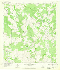
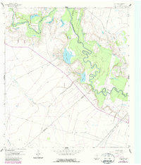
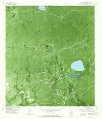
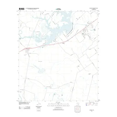
Editions of this 1963 Runge SE Map
2 editions found
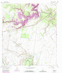
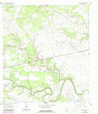
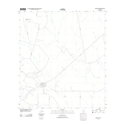
Historical Maps of Melrose Through Time
84 maps found
1962 Fannin
Goliad County, TX
1962 Hensley Lake
Goliad County, TX
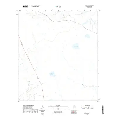
1962 Live Oak Lake
Goliad County, TX
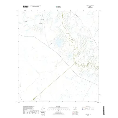
1962 Lott Lake
Goliad County, TX
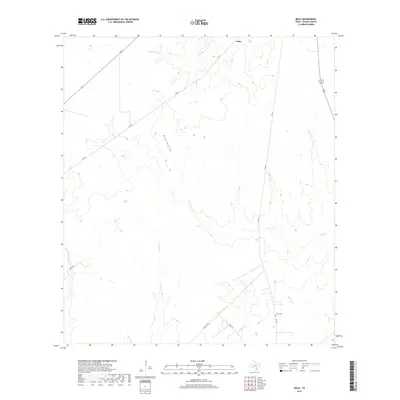
1962 Melo
Goliad County, TX
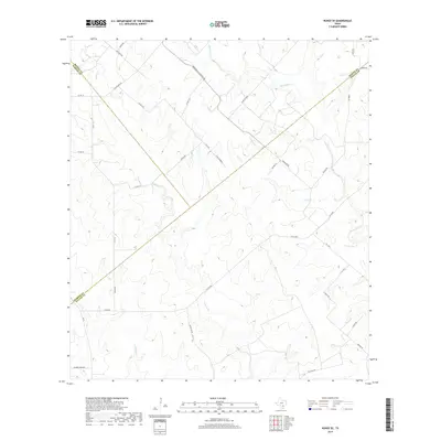
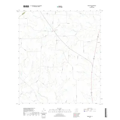
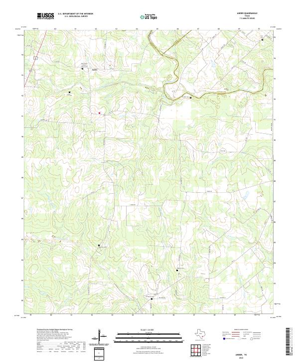
1963 Ander
Goliad County, TX
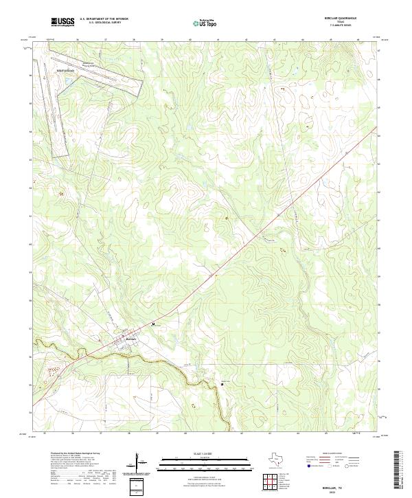
1963 Berclair
Goliad County, TX
1963 Berclair NW
Goliad County, TX
1963 Charco
Goliad County, TX
1963 Lazy F Ranch
Goliad County, TX
1963 Runge SE
Goliad County, TX
1963 Weesatche
Goliad County, TX
1978 Ryanville
Goliad County, TX
1979 Blanconia
Goliad County, TX
2010 Ander
Goliad County, TX
2010 Berclair
Goliad County, TX
2010 Berclair NW
Goliad County, TX
2010 Blanconia
Goliad County, TX
2010 Charco
Goliad County, TX
2010 Fannin
Goliad County, TX
2010 Hensley Lake
Goliad County, TX
2010 Lazy F Ranch
Goliad County, TX
2010 Live Oak Lake
Goliad County, TX
2010 Lott Lake
Goliad County, TX
2010 Melo
Goliad County, TX
2010 Runge SE
Goliad County, TX
2010 Ryanville
Goliad County, TX
2010 Weesatche
Goliad County, TX

2013 Ander
Goliad County, TX
2013 Berclair
Goliad County, TX
2013 Berclair NW
Goliad County, TX
2013 Blanconia
Goliad County, TX
2013 Charco
Goliad County, TX
2013 Fannin
Goliad County, TX
2013 Hensley Lake
Goliad County, TX
2013 Lazy F Ranch
Goliad County, TX
2013 Live Oak Lake
Goliad County, TX
2013 Lott Lake
Goliad County, TX
2013 Melo
Goliad County, TX
2013 Runge SE
Goliad County, TX
2013 Ryanville
Goliad County, TX
2013 Weesatche
Goliad County, TX
2016 Ander
Goliad County, TX
2016 Berclair
Goliad County, TX
2016 Berclair NW
Goliad County, TX
2016 Blanconia
Goliad County, TX
2016 Charco
Goliad County, TX
2016 Fannin
Goliad County, TX
2016 Hensley Lake
Goliad County, TX
2016 Lazy F Ranch
Goliad County, TX
2016 Live Oak Lake
Goliad County, TX
2016 Lott Lake
Goliad County, TX
2016 Melo
Goliad County, TX
2016 Runge SE
Goliad County, TX
2016 Ryanville
Goliad County, TX
2016 Weesatche
Goliad County, TX
2019 Ander
Goliad County, TX
2019 Berclair
Goliad County, TX
2019 Berclair NW
Goliad County, TX
2019 Blanconia
Goliad County, TX
2019 Charco
Goliad County, TX
2019 Fannin
Goliad County, TX
2019 Hensley Lake
Goliad County, TX
2019 Lazy F Ranch
Goliad County, TX
2019 Live Oak Lake
Goliad County, TX
2019 Lott Lake
Goliad County, TX
2019 Melo
Goliad County, TX
2019 Runge SE
Goliad County, TX
2019 Ryanville
Goliad County, TX
2019 Weesatche
Goliad County, TX
2022 Ander
Goliad County, TX
2022 Berclair
Goliad County, TX
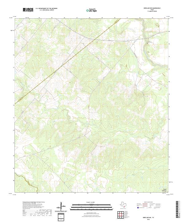
2022 Berclair NW
Goliad County, TX
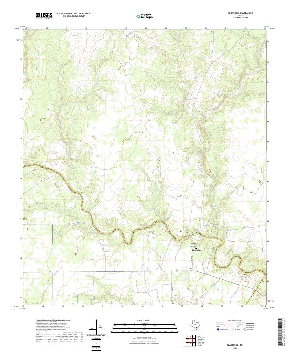
2022 Blanconia
Goliad County, TX
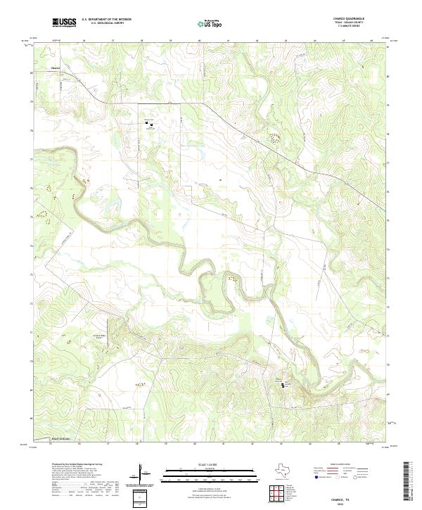
2022 Charco
Goliad County, TX
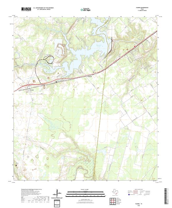
2022 Fannin
Goliad County, TX
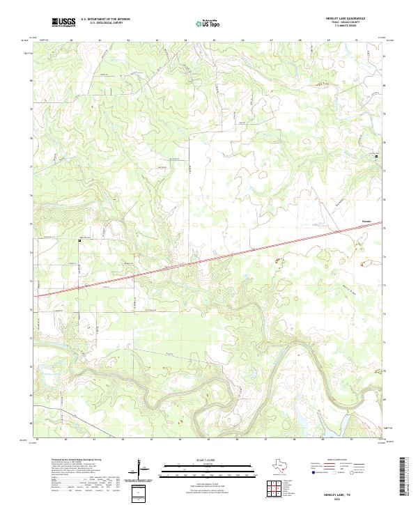
2022 Hensley Lake
Goliad County, TX
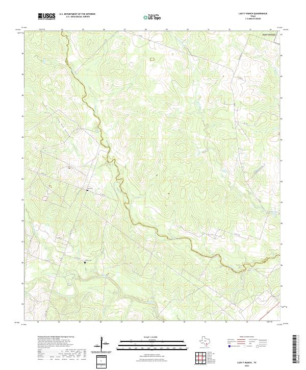
2022 Lazy F Ranch
Goliad County, TX
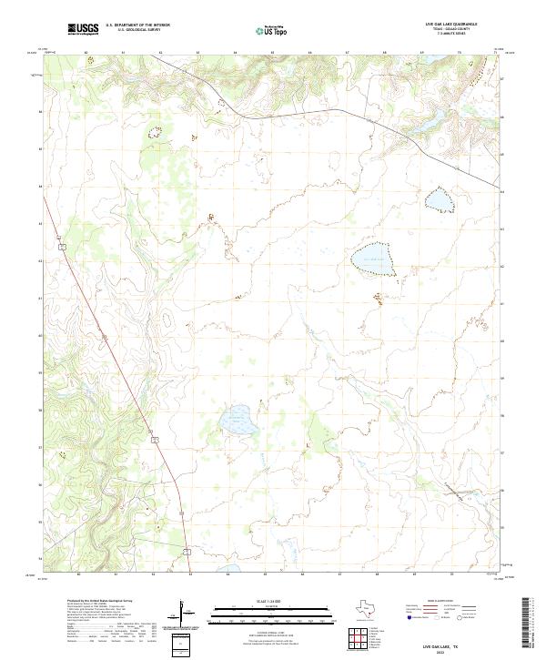
2022 Live Oak Lake
Goliad County, TX
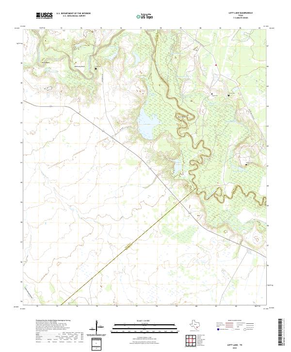
2022 Lott Lake
Goliad County, TX
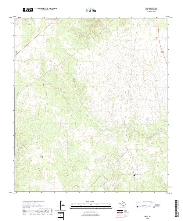
2022 Melo
Goliad County, TX
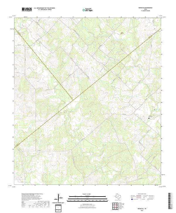
2022 Runge SE
Goliad County, TX
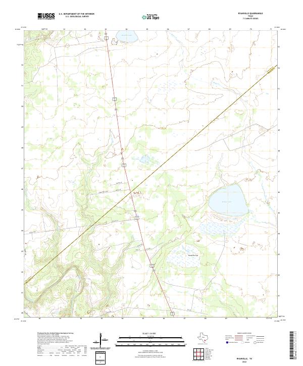
2022 Ryanville
Goliad County, TX
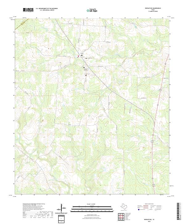
2022 Weesatche
Goliad County, TX