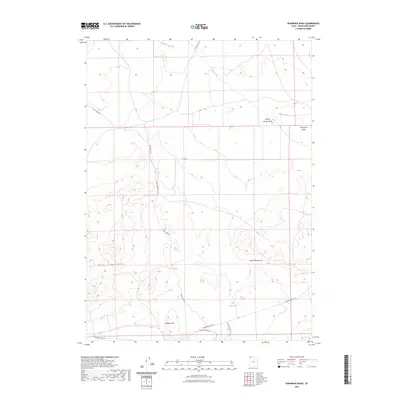
2023 Map of Runswick Wash
USGS Topo · Published 2023About this map
Emigrant Trail Rd traverses the southern reaches of this arid landscape, preserving the historical transit corridor through Box Elder County. This modern 2023 survey by the U.S. Geological Survey documents a region defined by complex topographic features, where the Matlin Mountains meet the southern extent of the Dove Creek Hills. The drainage patterns of the Great Basin are clearly visible, with ephemeral watercourses like Runswick Wash and Dove Creek carving through the high desert floor. Local landmarks such as Airplane Hill and the adjacent S Airplane Hill Rd provide orientation points in an area largely dominated by open range. Water management is indicated by the presence of Cliff Reservoir, while the intersection of secondary routes like N Red Dome Rd and Dove Creek Rd highlights the modern rural infrastructure overlaying the older western trails.
Find a feature on this map
14 named features on this map. Tap any name to fly to it.
Don’t see what you’re looking for? This feature index may not catch every label — zoom into the map to look around manually.
Map Details
Editions of this 2023 Runswick Wash Map
This is the sole edition of this map. No revisions or reprints were ever made.
Other maps of this area

1954 · Brigham City
USGS Topo · 1:250,000

1958 · Brigham City
USGS Topo · 1:250,000

1959 · Park Valley
USGS Topo · 1:62,500

1959 · Yost
USGS Topo · 1:62,500

1962 · Brigham City
USGS Topo · 1:250,000

1971 · Prohibition Spring
USGS Topo · 1:24,000

1971 · Red Dome
USGS Topo · 1:24,000

1971 · Matlin
USGS Topo · 1:24,000
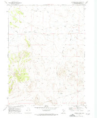
1971 · Runswick Wash
USGS Topo · 1:24,000

1971 · Warm Spring Hills
USGS Topo · 1:24,000