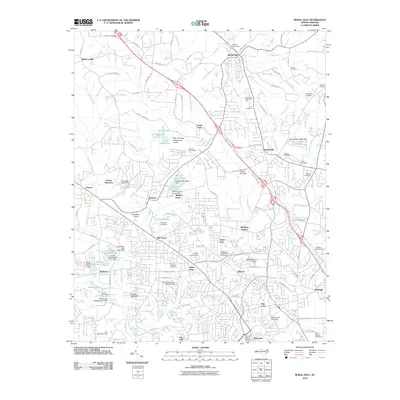
2010 Map of Rural Hall
USGS Topo · Published 2010About this map
Bethania and the surrounding Forsyth County landscape appear here as a mix of residential expansion and preserved institutional land. The northern campus of Wake Forest University anchor the southern portion of the sheet, while historic communities like Rural Hall and Tobaccoville mark the northern reaches. The area is defined by a dense network of water features, including Muddy Creek and Mill Creek, interspersed with local leisure sites like the Bethania Golf Course and Tommys Fishing Lake Dam. A distinct aviation presence is noted through the Wedgewood Airport and the Northwest Airstrip. Genealogists will find a high concentration of family-named burial grounds, such as Griffin Cemetery, Sullivan Cemetery, and Carmichael Cemetery, which provide clues to the region's long-established family lineages before further suburban development.
Find a feature on this map
127 named features on this map. Tap any name to fly to it.
Don’t see what you’re looking for? This feature index may not catch every label — zoom into the map to look around manually.
Map Details
Editions of this 2010 Rural Hall Map
This is the sole edition of this map. No revisions or reprints were ever made.
Other maps of this area

1950 · Winston-Salem West
USGS Topo · 1:24,000

1950 · Winston-Salem East
USGS Topo · 1:24,000

1951 · Winston-Salem West
USGS Topo · 1:24,000

1951 · Winston-Salem East
USGS Topo · 1:24,000

1951 · Rural Hall
USGS Topo · 1:24,000

1951 · Walkertown
USGS Topo · 1:24,000

1953 · Winston-Salem
USGS Topo · 1:250,000

1955 · Winston-Salem
USGS Topo · 1:250,000

1962 · Winston-Salem
USGS Topo · 1:250,000

1964 · Pinnacle
USGS Topo · 1:24,000