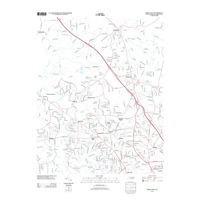
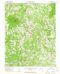
2013 Map of Rural Hall
USGS Topo · Published 2013About this map
Bethania and Rural Hall anchor this 2013 survey of the northern outskirts of Winston-Salem, capturing a landscape where historic Moravian settlements meet modern suburban expansion. The map details the complex drainage system of Muddy Cr and its numerous tributaries like Mill Cr and Grassy Cr, which historically powered local industry and shaped the Piedmont terrain.
Find a feature on this map
59 named features on this map. Tap any name to fly to it.
Don’t see what you’re looking for? This feature index may not catch every label — zoom into the map to look around manually.
Map Details
Editions of this 2013 Rural Hall Map
This is the sole edition of this map. No revisions or reprints were ever made.
Other maps of this area
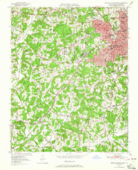
1950 · Winston-Salem West
USGS Topo · 1:24,000
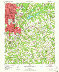
1950 · Winston-Salem East
USGS Topo · 1:24,000
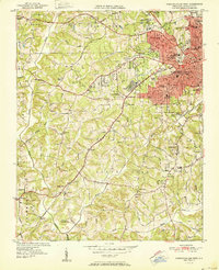
1951 · Winston-Salem West
USGS Topo · 1:24,000
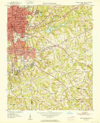
1951 · Winston-Salem East
USGS Topo · 1:24,000
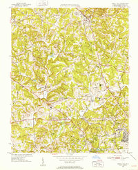
1951 · Rural Hall
USGS Topo · 1:24,000
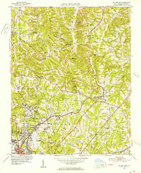
1951 · Walkertown
USGS Topo · 1:24,000

1953 · Winston-Salem
USGS Topo · 1:250,000

1955 · Winston-Salem
USGS Topo · 1:250,000
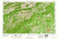
1962 · Winston-Salem
USGS Topo · 1:250,000
1964 · Pinnacle
USGS Topo · 1:24,000