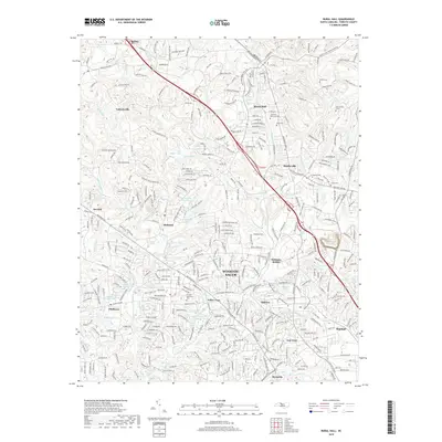
2019 Map of Rural Hall
USGS Topo · Published 2019About this map
Bethania and the northern outskirts of Winston-Salem anchor this detailed 2019 survey of Forsyth County. The landscape reflects a transition from the historic Moravian settlement patterns near Bethania Station to the suburban expansion of Oldtown and Pfafftown. The drainage of Muddy Cr and its tributaries, including Beaver Dam Cr and Mill Cr, shapes the local topography, punctuated by numerous small impoundments like Mallard Lake Upper and Paitts Lake.
Find a feature on this map
332 named features on this map. Tap any name to fly to it.
Don’t see what you’re looking for? This feature index may not catch every label — zoom into the map to look around manually.
Map Details
Editions of this 2019 Rural Hall Map
This is the sole edition of this map. No revisions or reprints were ever made.
Other maps of this area

1950 · Winston-Salem West
USGS Topo · 1:24,000

1950 · Winston-Salem East
USGS Topo · 1:24,000

1951 · Winston-Salem West
USGS Topo · 1:24,000

1951 · Winston-Salem East
USGS Topo · 1:24,000

1951 · Rural Hall
USGS Topo · 1:24,000

1951 · Walkertown
USGS Topo · 1:24,000

1953 · Winston-Salem
USGS Topo · 1:250,000

1955 · Winston-Salem
USGS Topo · 1:250,000

1962 · Winston-Salem
USGS Topo · 1:250,000

1964 · Pinnacle
USGS Topo · 1:24,000