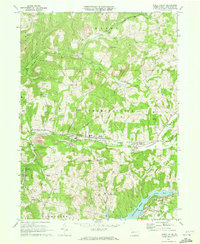
1969 Map of Rural Valley
USGS Topo · Published 1972About this map
Industrial coal and gas extraction define the late 1960s landscape of the Cowanshannock and Valley townships. A dense network of infrastructure supports the region's economy, from the Conveyor Tipple and Mine Dump near NuMine to the numerous gas wells peppering the hillsides of Wayne and Boggs. The Baltimore and Ohio railroad corridor serves as the central artery for these resources, tracing the course of Cowanshannock Creek through the borough of Rural Valley and into the neighboring settlement of Yatesboro. To the south, the recently filled Keystone Lake dominates the basin of the North Branch Plum Creek, signifying a shift in land use near the village of Atwood. This survey captures a moment when traditional community landmarks like Salem Ch and Pleasant Union Ch stood alongside active Strip Mines and evolving waterway projects.
Find a feature on this map
43 named features on this map. Tap any name to fly to it.
Don’t see what you’re looking for? This feature index may not catch every label — zoom into the map to look around manually.
Map Details
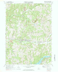
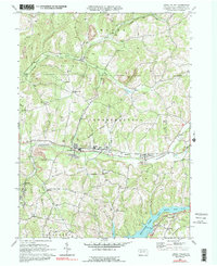
Editions of this 1969 Rural Valley Map
3 editions found
Other maps of this area

1901 · Rural Valley
USGS Topo · 1:62,500

1902 · Indiana
USGS Topo · 1:62,500

1902 · Elders Ridge
USGS Topo · 1:62,500

1903 · Rural Valley
USGS Topo · 1:62,500

1904 · Elders Ridge
USGS Topo · 1:62,500

1909 · Smicksburg
USGS Topo · 1:62,500

1938 · Smicksburg
USGS Topo · 1:62,500

1939 · Smicksburg
USGS Topo · 1:62,500

1953 · Pittsburgh
USGS Topo · 1:250,000

1954 · Pittsburgh
USGS Topo · 1:250,000